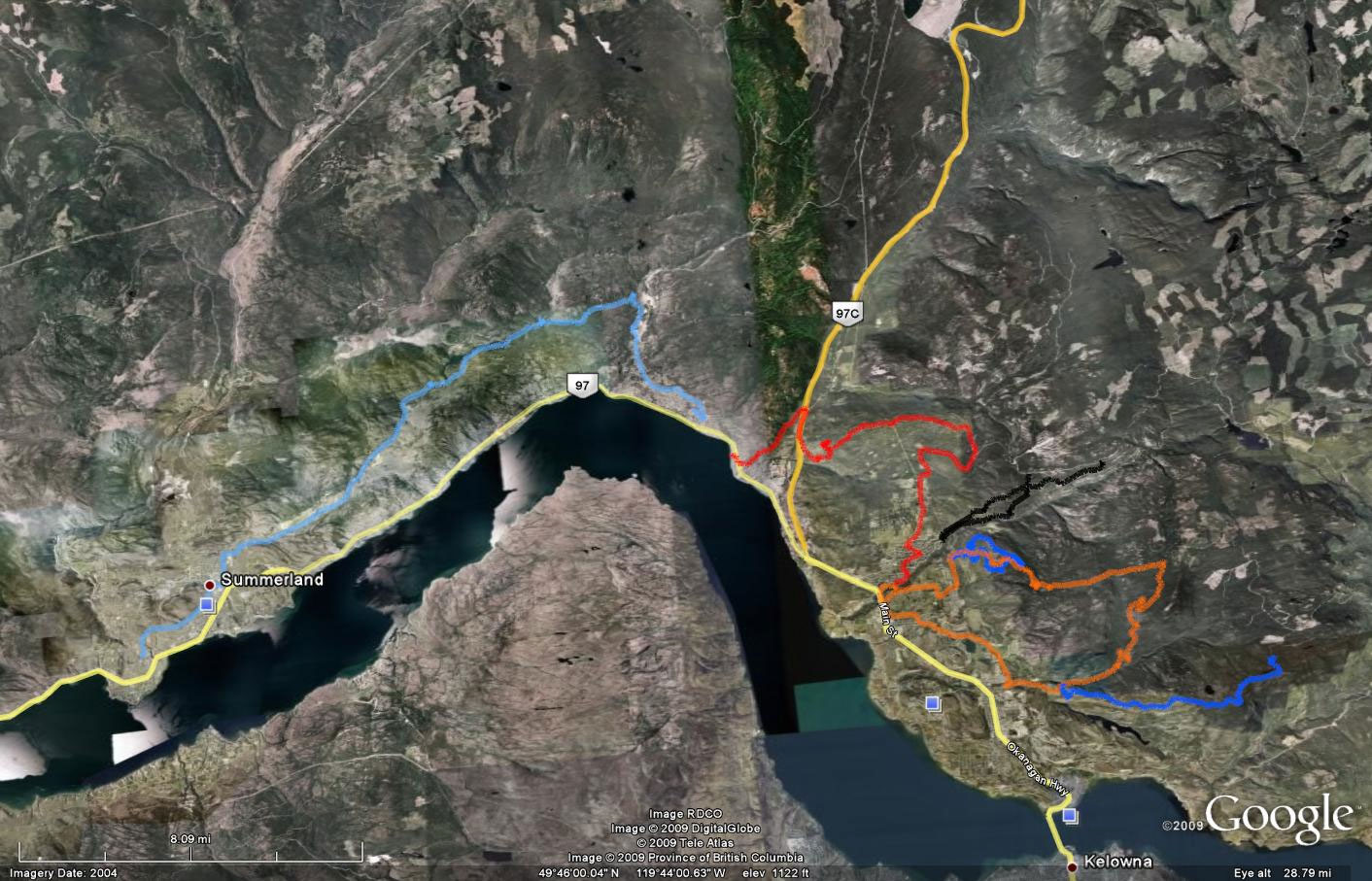
No pics, just maps. I forgot the camera, but I remembered the GPS at least. The final pieces of the westside offroad route are falling into place. A lot of road on the route pictured, but I needed to run that through to get a sense of where to access the singletrack. And I’ve got it figured out, now.
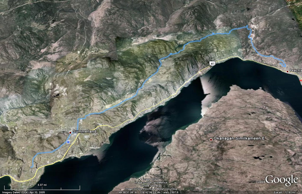
So the westside of the lake is looking pretty good now. Hopefully I’ll be able to ride the full distance from Peachland to Penticton before the trails close down this year.