WSFE – Day 7

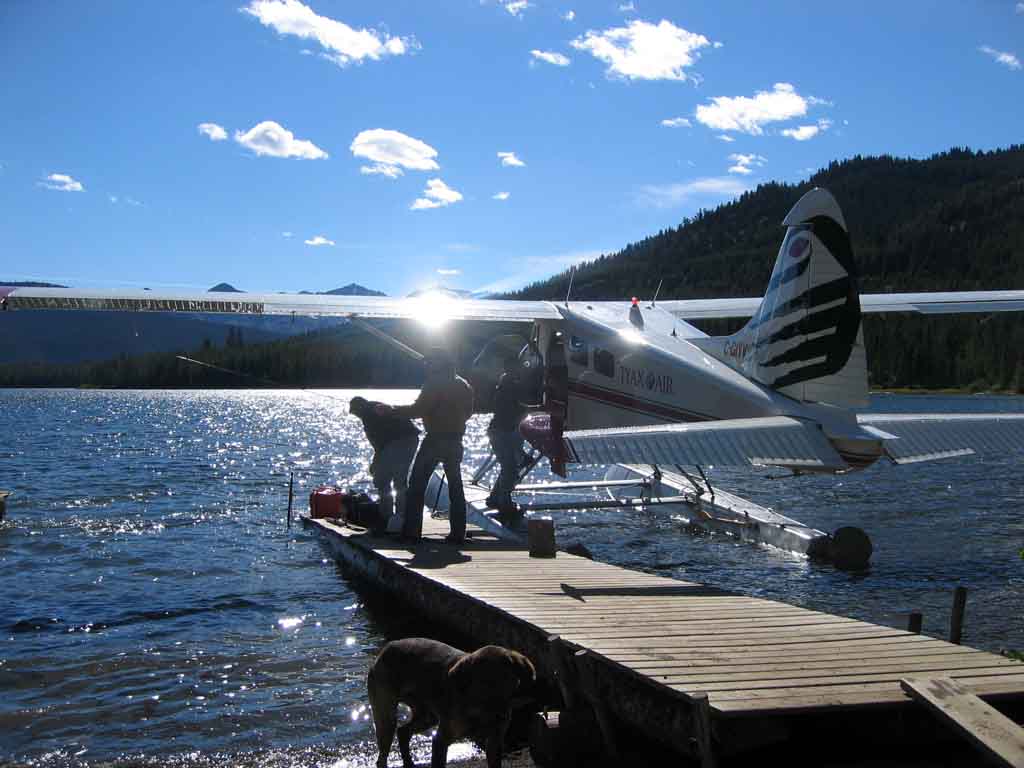
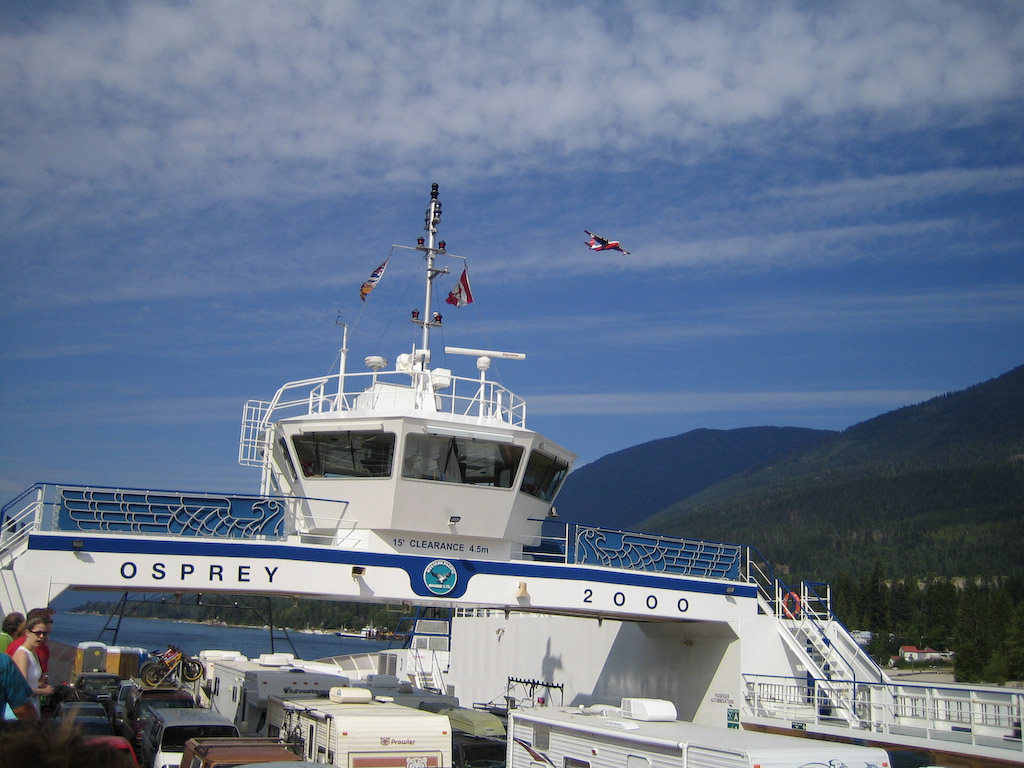
OK, this is the reason why I ride bikes. Epics…..I love epics. Especially when they start with the largest water bomber in the world overflying the ferry you gotta take to get to the trails….

OK, so maybe Ian looks…non-plussed.

Holt, Wade and Nicole seem up for it.

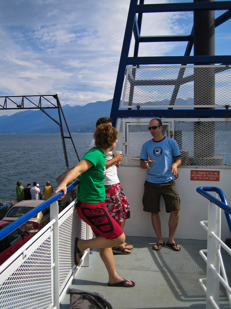
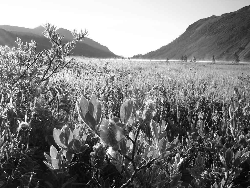
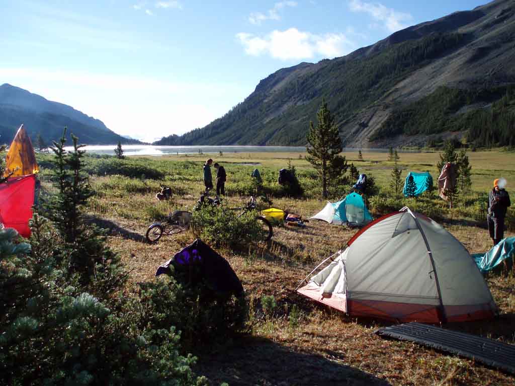
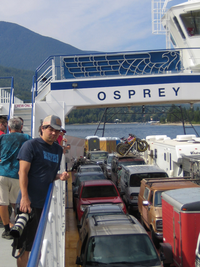
It was an epic drive just to start off this one. We had to cross Kootenay Lake to Crawford Bay, then drive over Gray Creek Pass into the heart of the Purcell Mtns. 60 km of gravel got us into this valley:

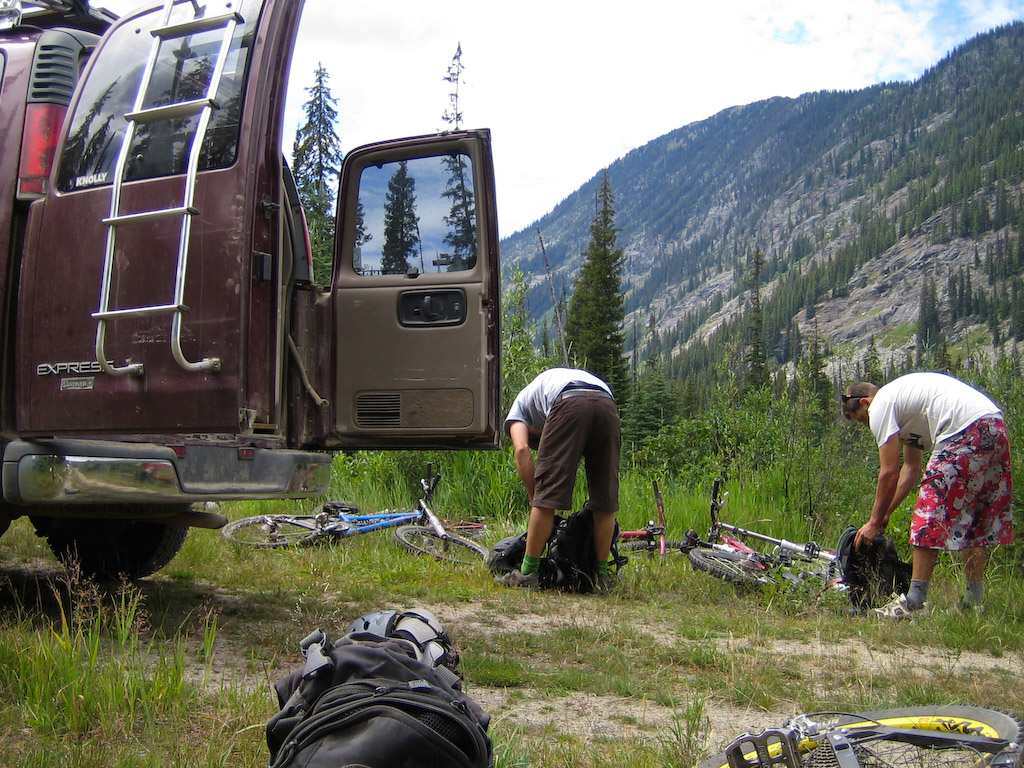
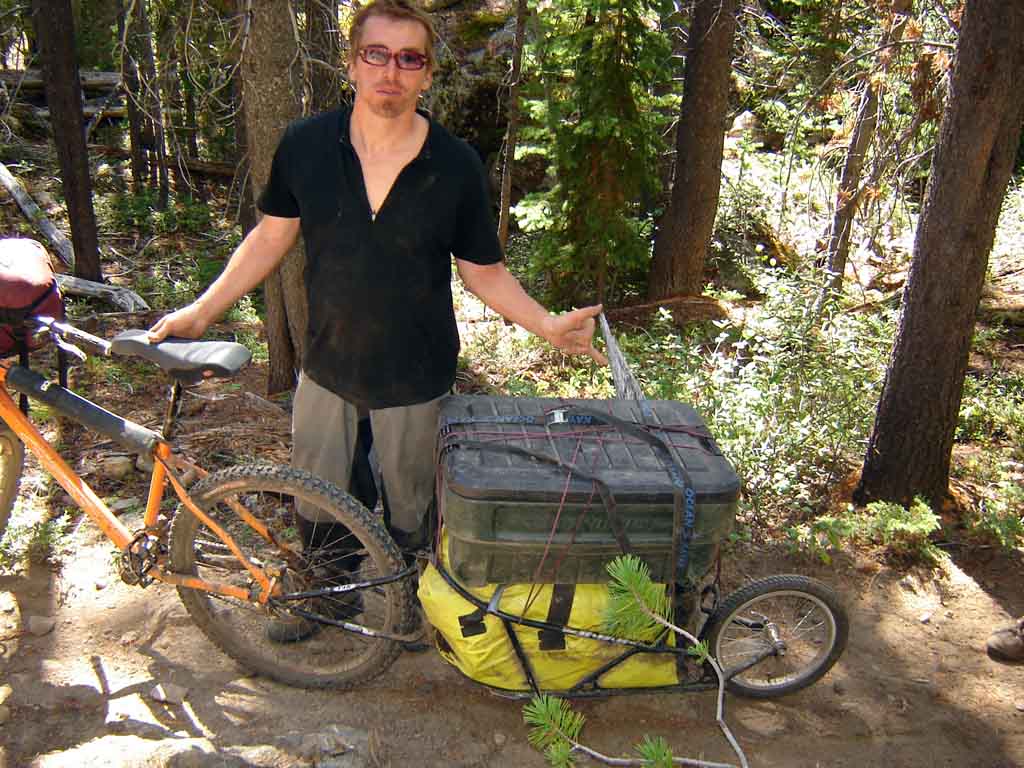
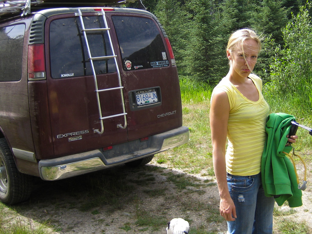
Since we couldn’t get anyone to be our shuttle driver, the task fell to the lovely Danika. Does here lower lip seem a little larger than usual in this pic?

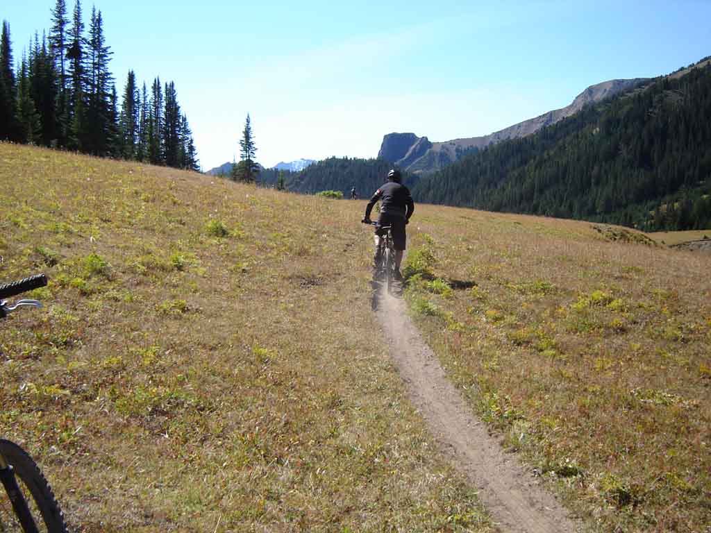
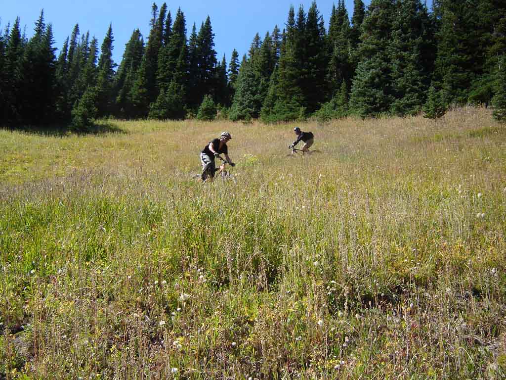
I don’t know what she was bummed about, it was obviously going to be a bit of a climb.

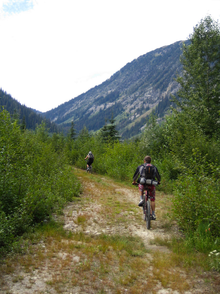
The PowerBoys do this climb to the pass over into Lockhart Creek in an hour, so I was thinking a little under 2 for our crew….

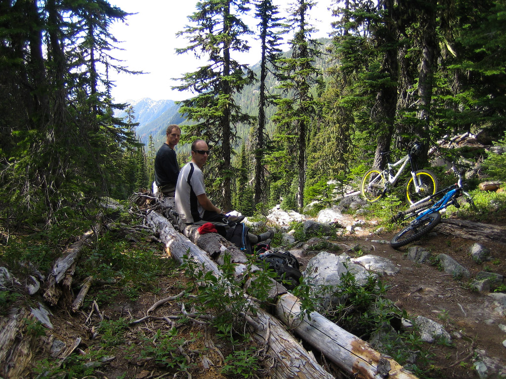
Because mere mortals such as we are, we require….uhhh…..rest stops.

Even Wade couldn’t pedal up this stuff.

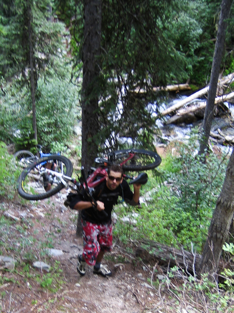
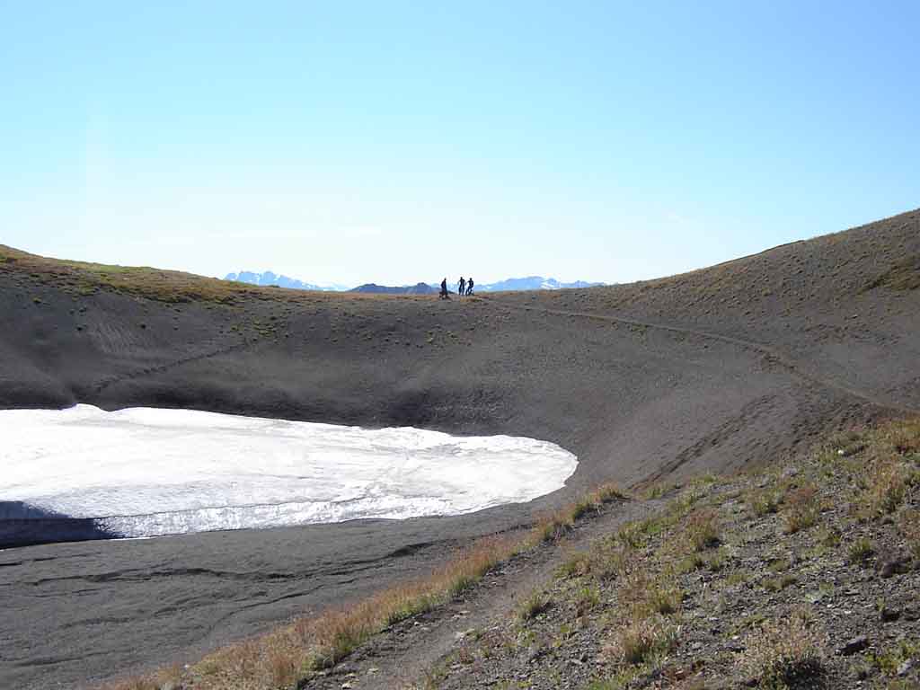
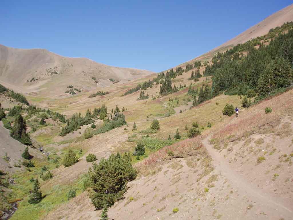
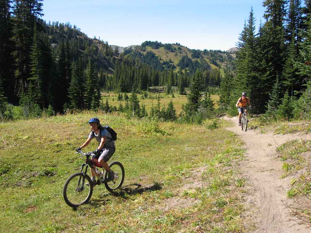
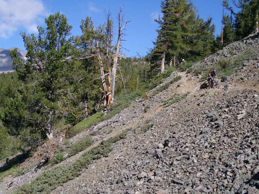
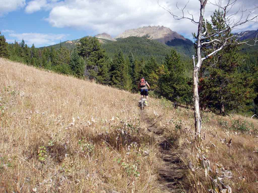
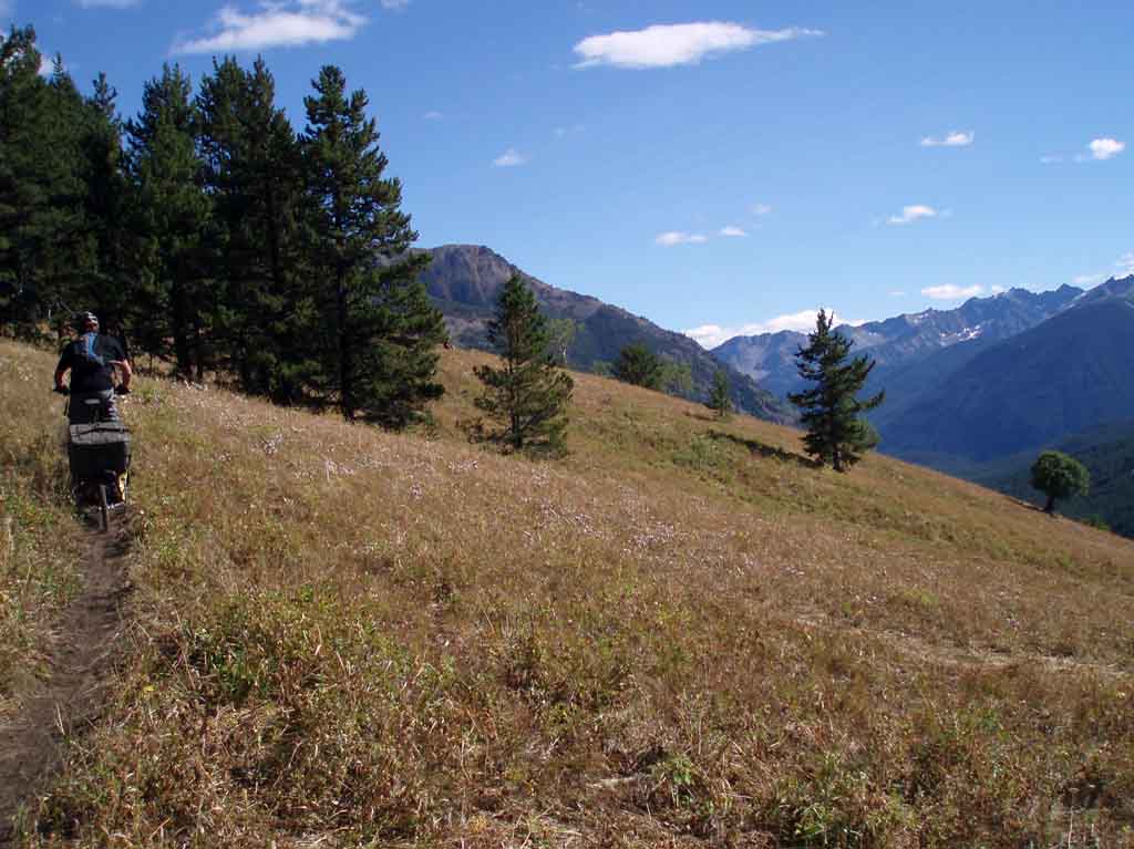
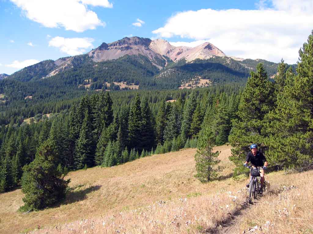
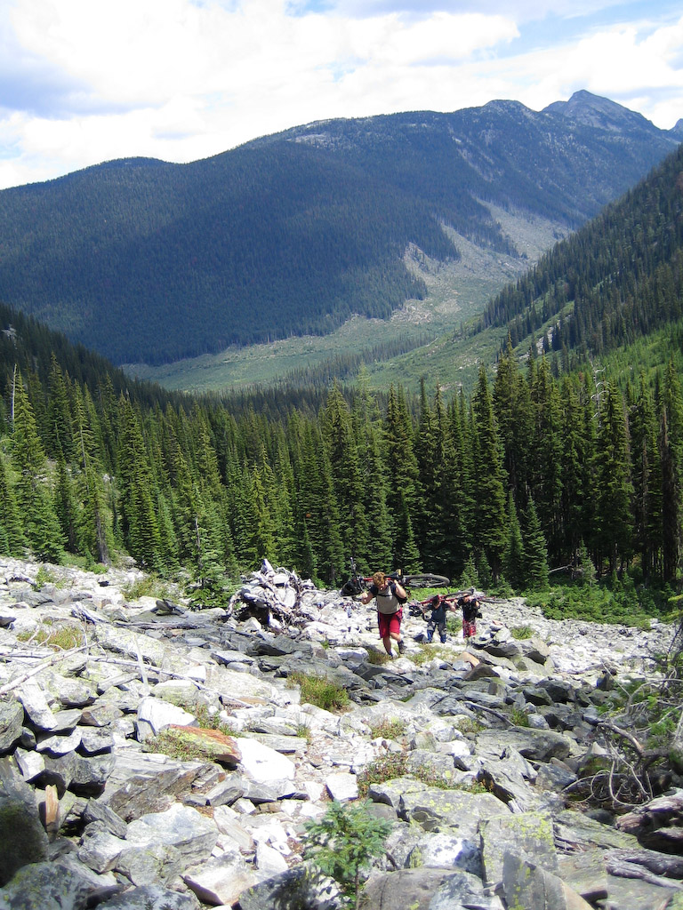
Kind of scenic climbing for all that it was a bit rough.

Some trees to put it in perspective. That’s Nicole in there somewhere.

Some deep shrubbery as we got close to the summit.

Almost there means a good excuse to crack a smile.
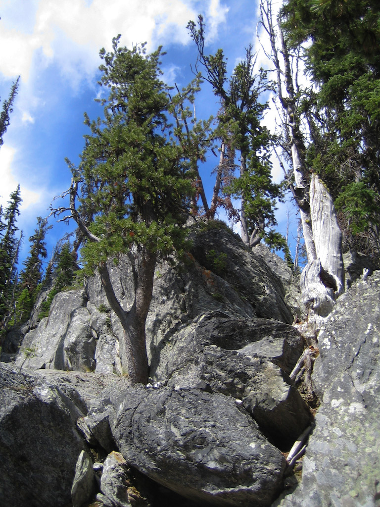
Artsy fartsy shot.

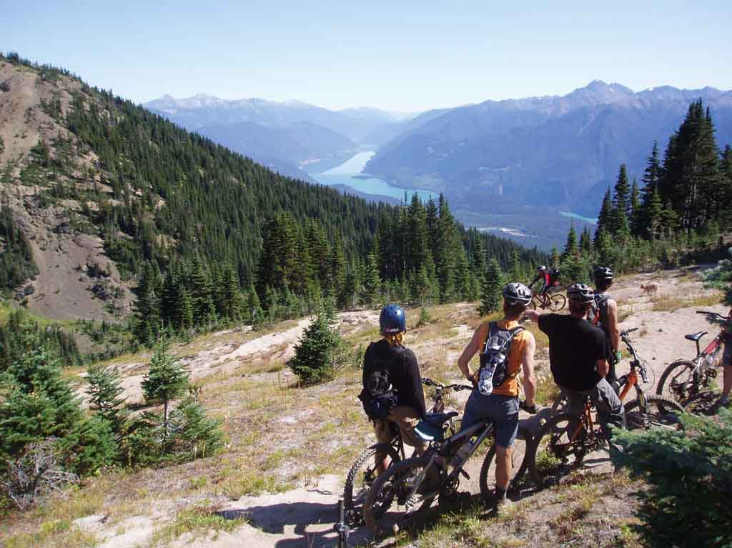
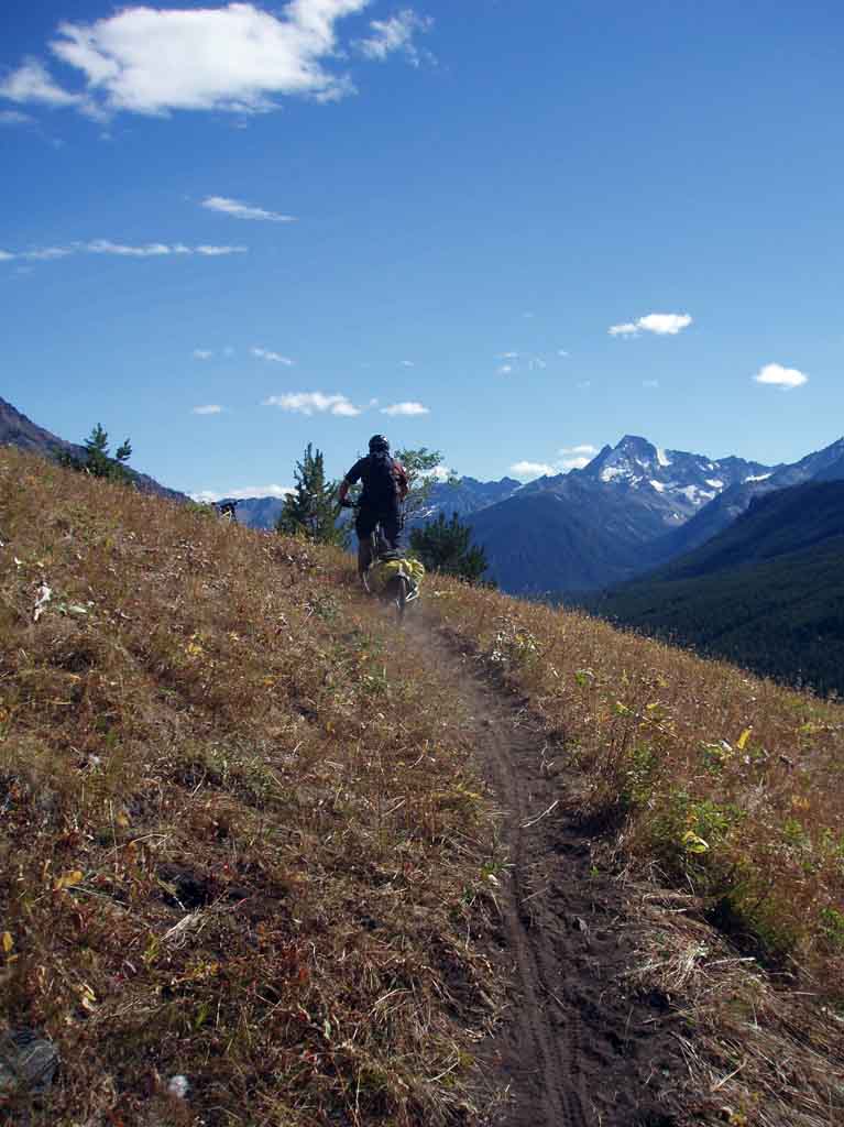
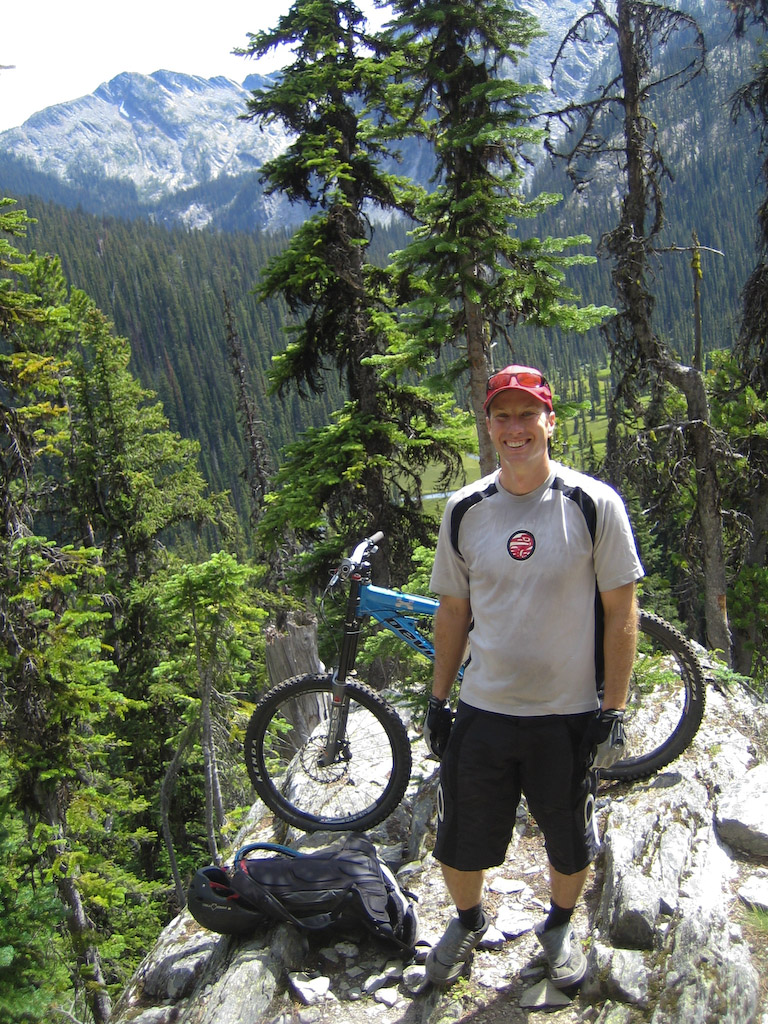
Snack break with some 9 000′ peaks in the background.
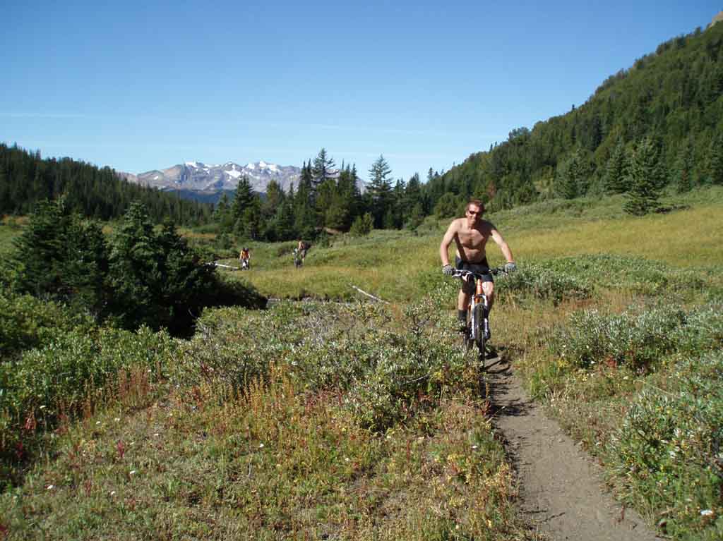
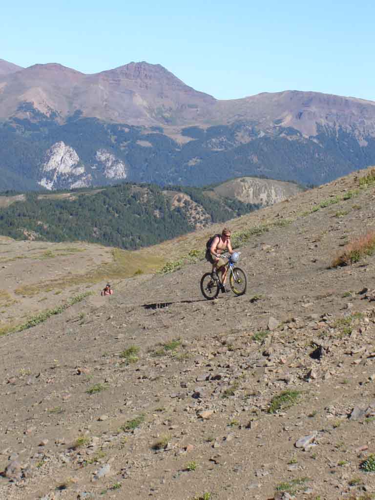
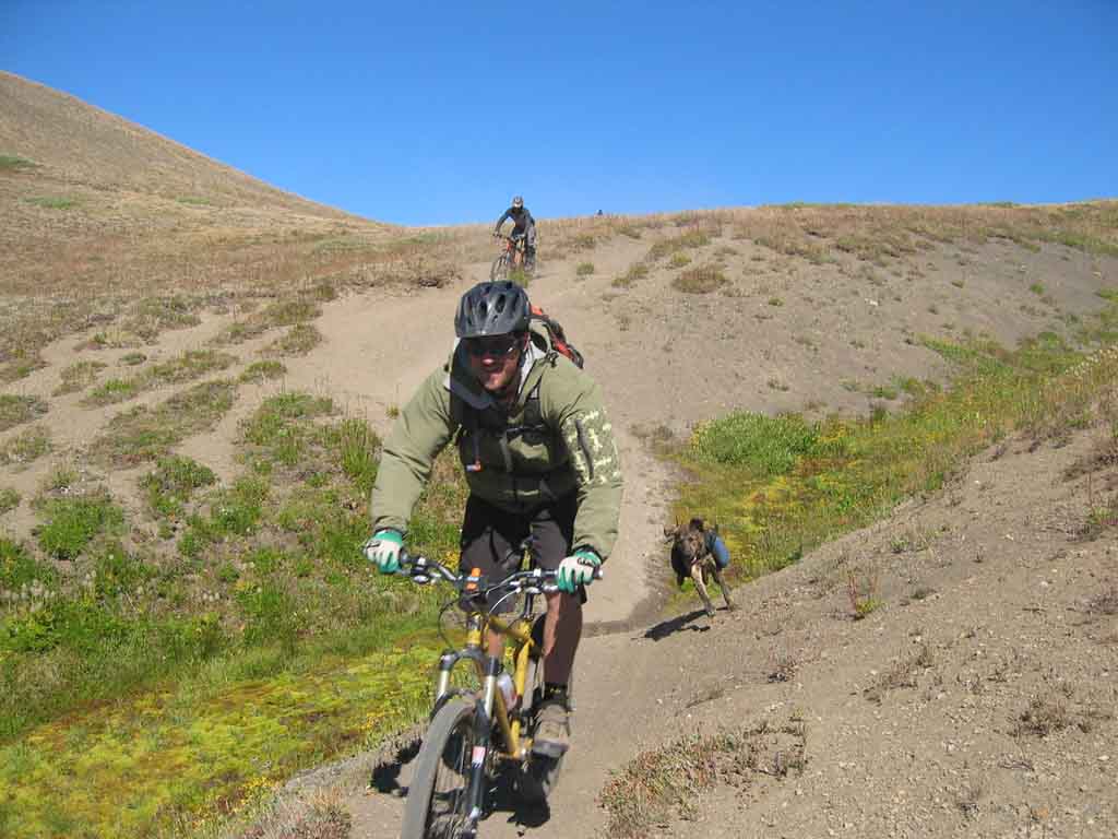
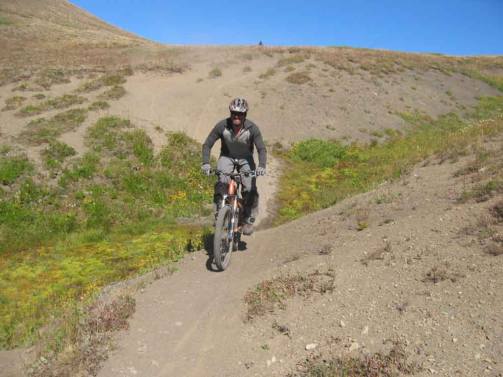
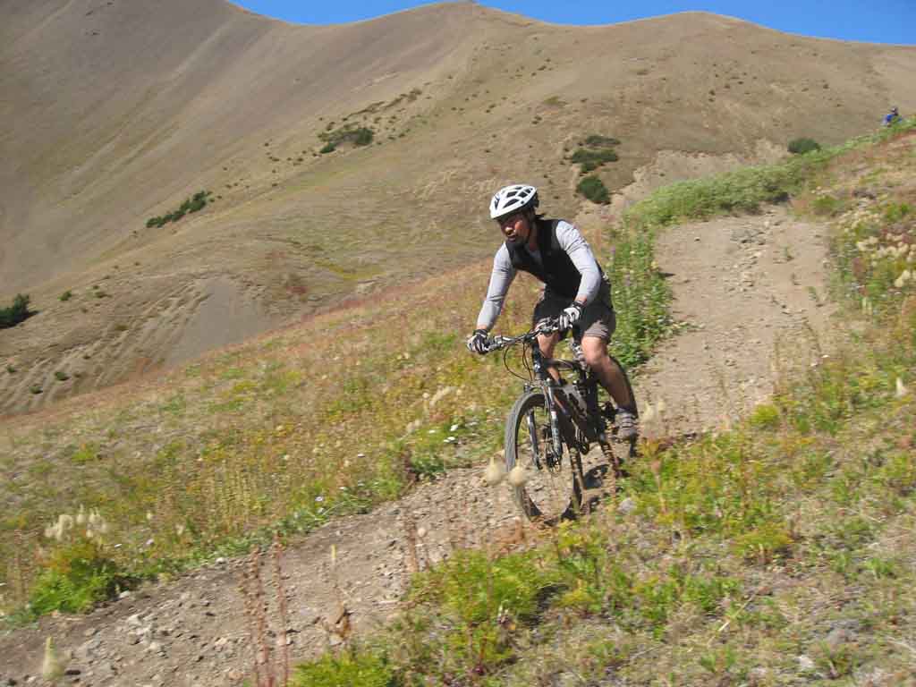
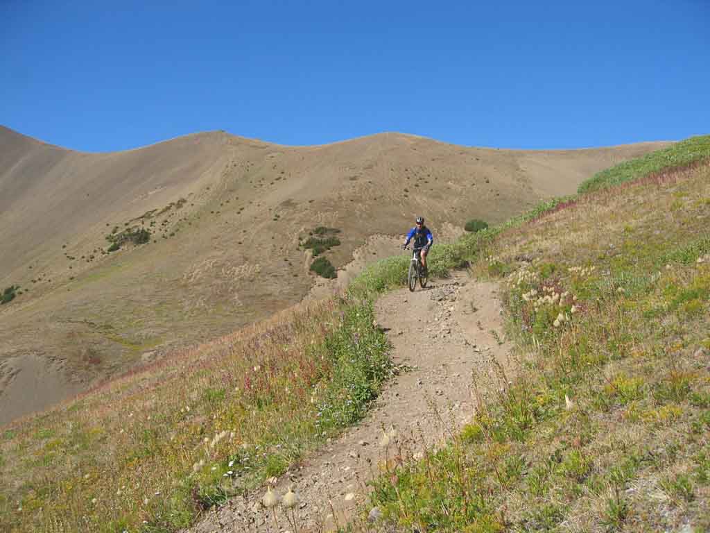
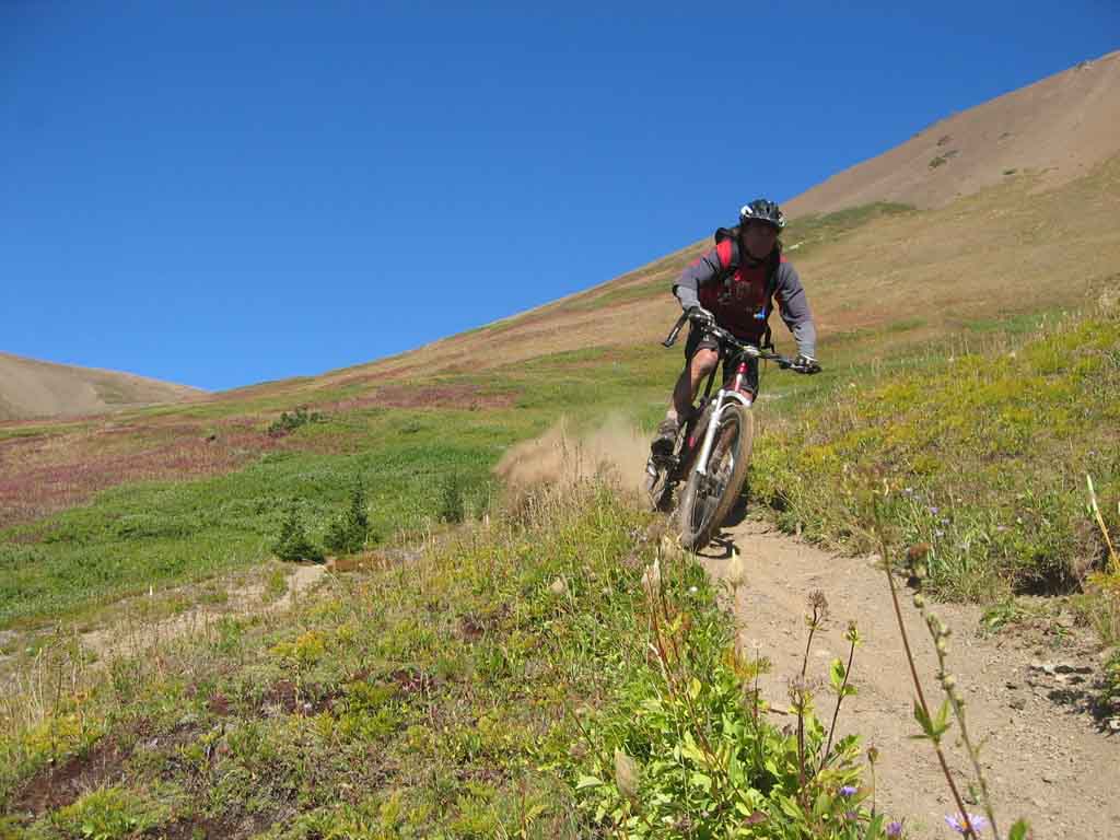
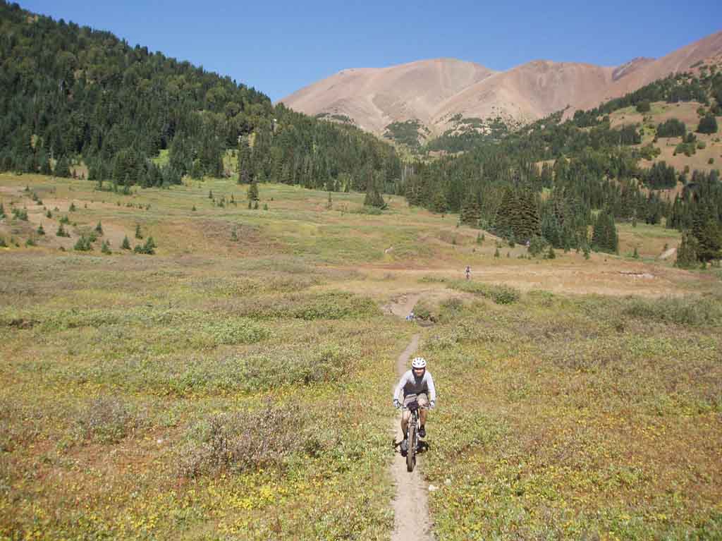
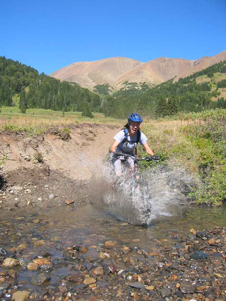
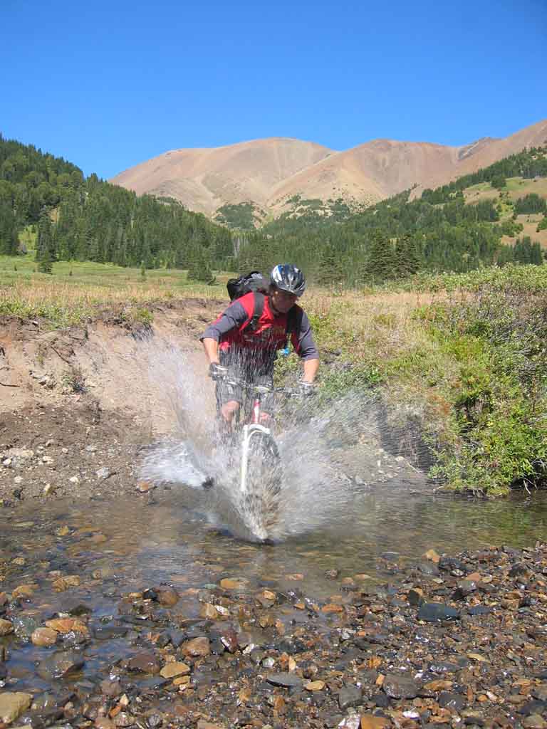
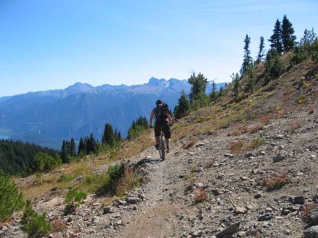
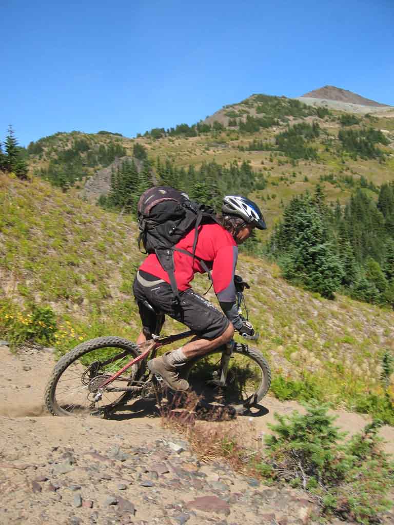
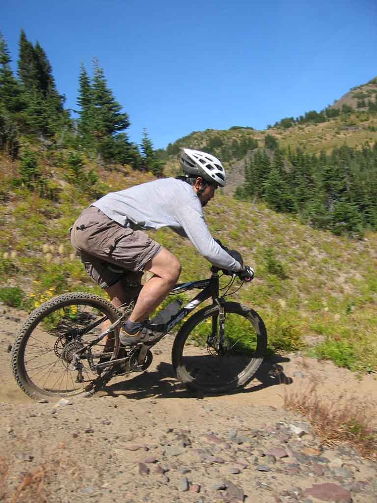
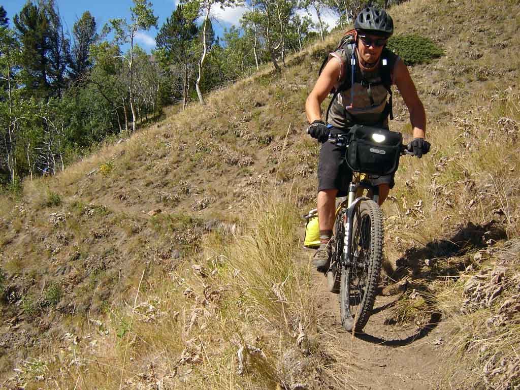
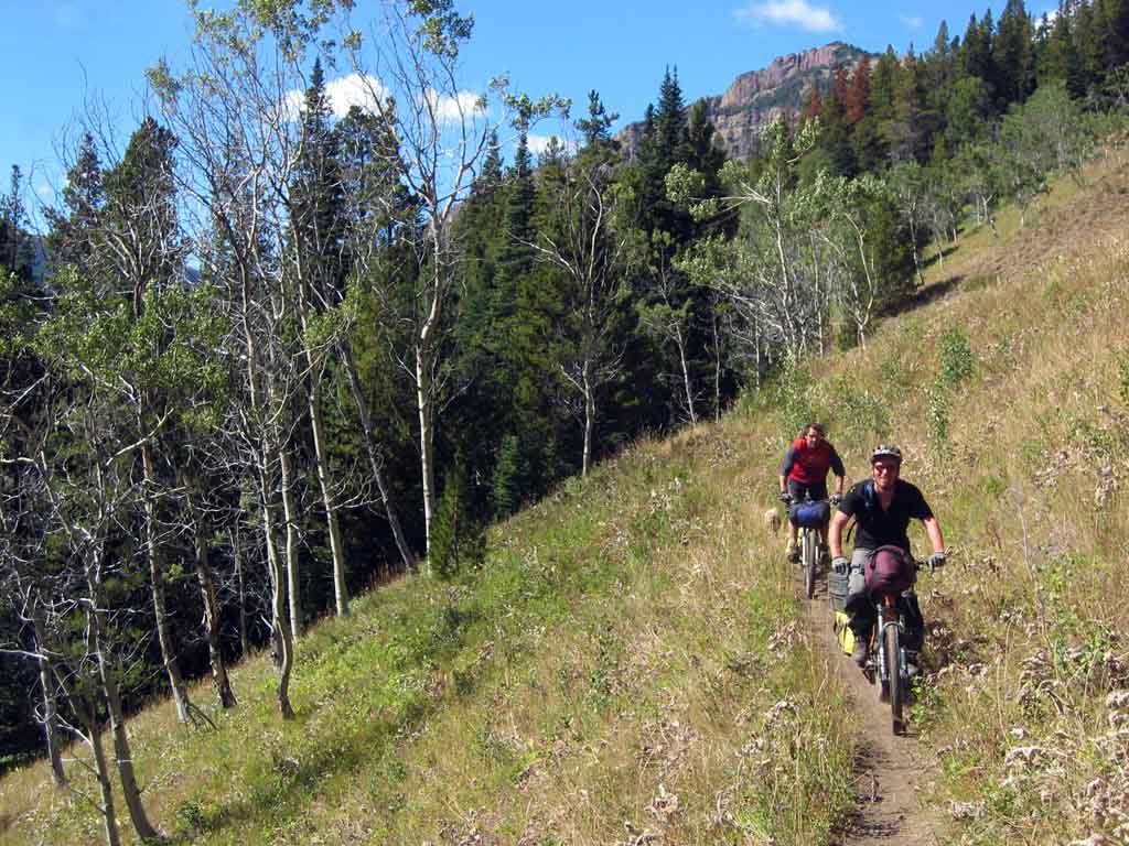
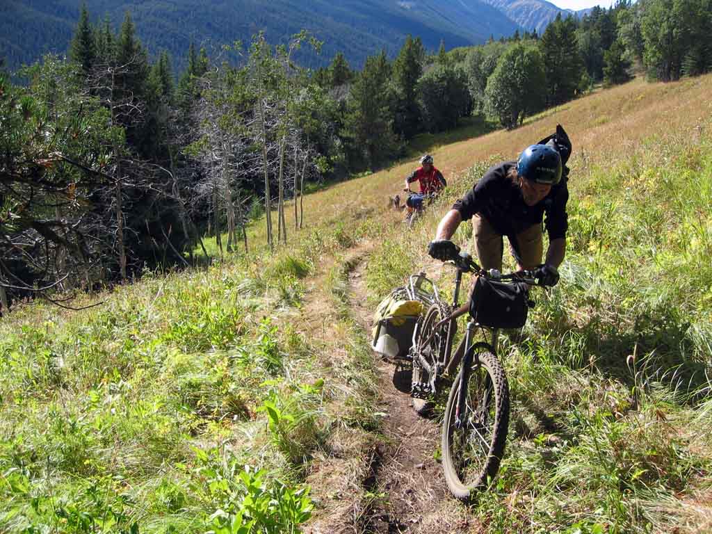
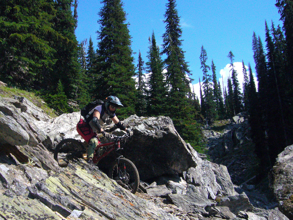
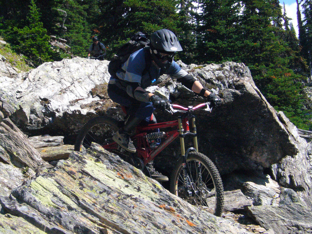
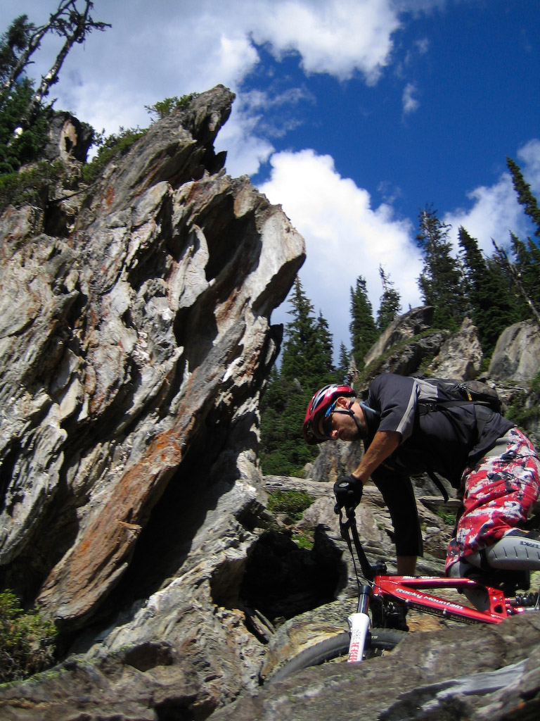
Action shots….

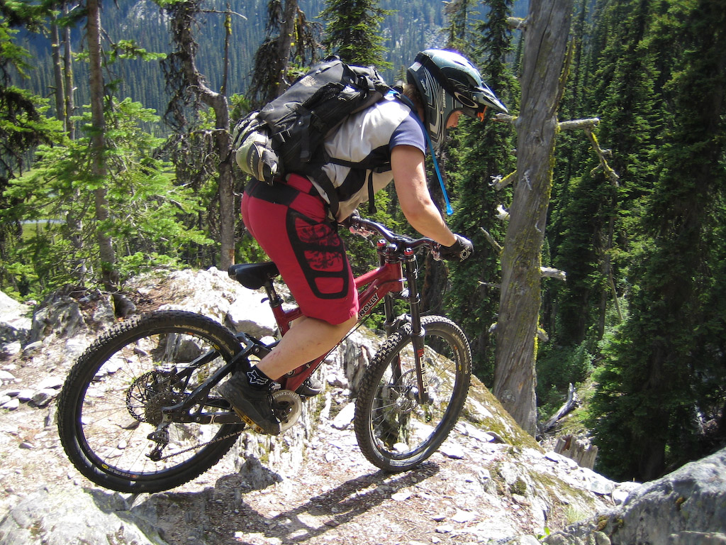
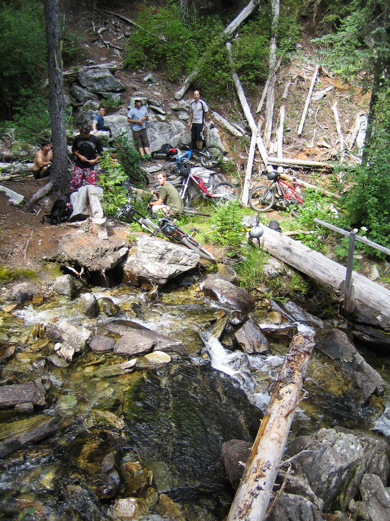
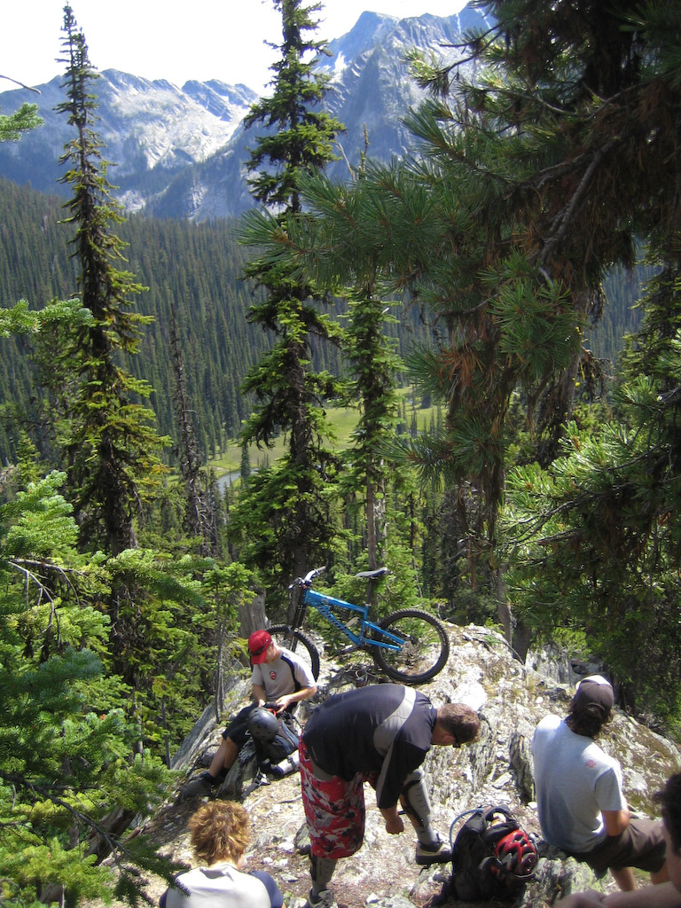
The reality behind the action shots. Next time you see a pro rider in one of those epic backcountry shots, here’s how it really happens.

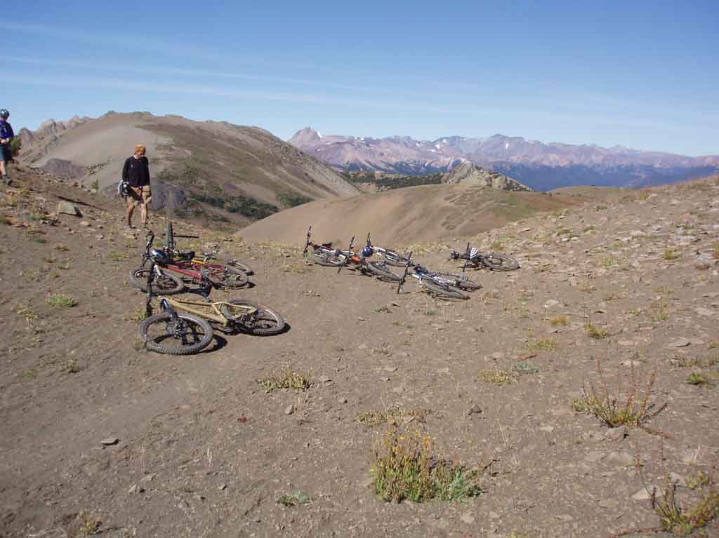
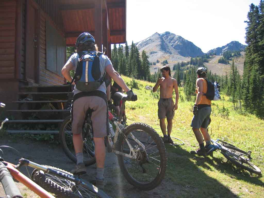
Ahhhh, finally the top. I made everyone enjoy a brief moment of silence at the top with closed eyes…

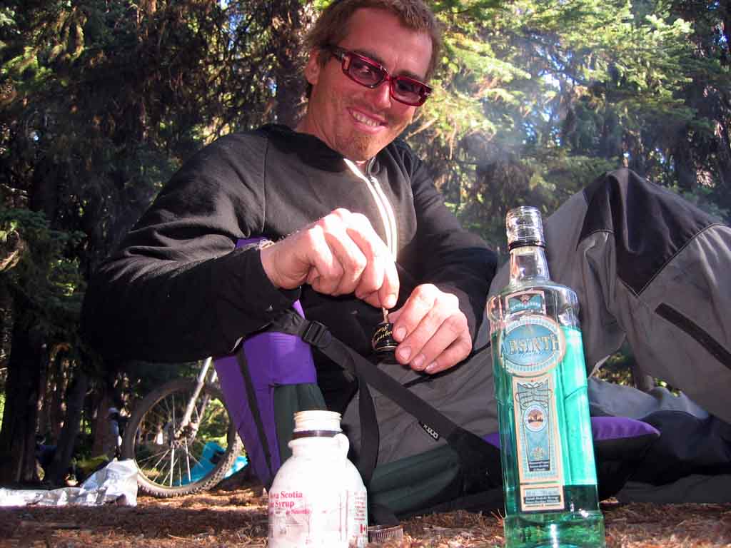
Just so I could crack a beer to break the moment. Good times….good times.

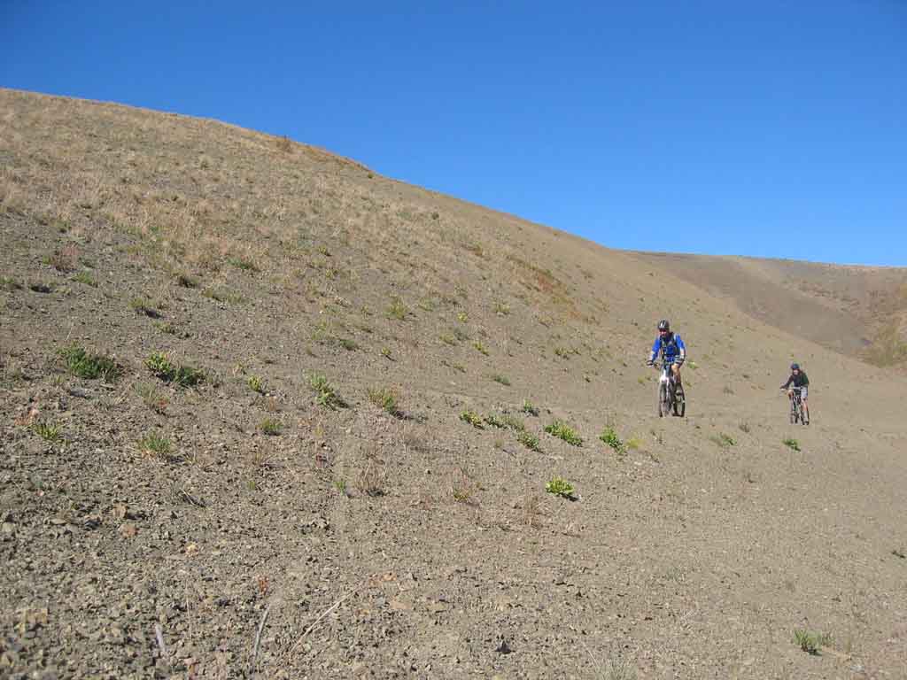
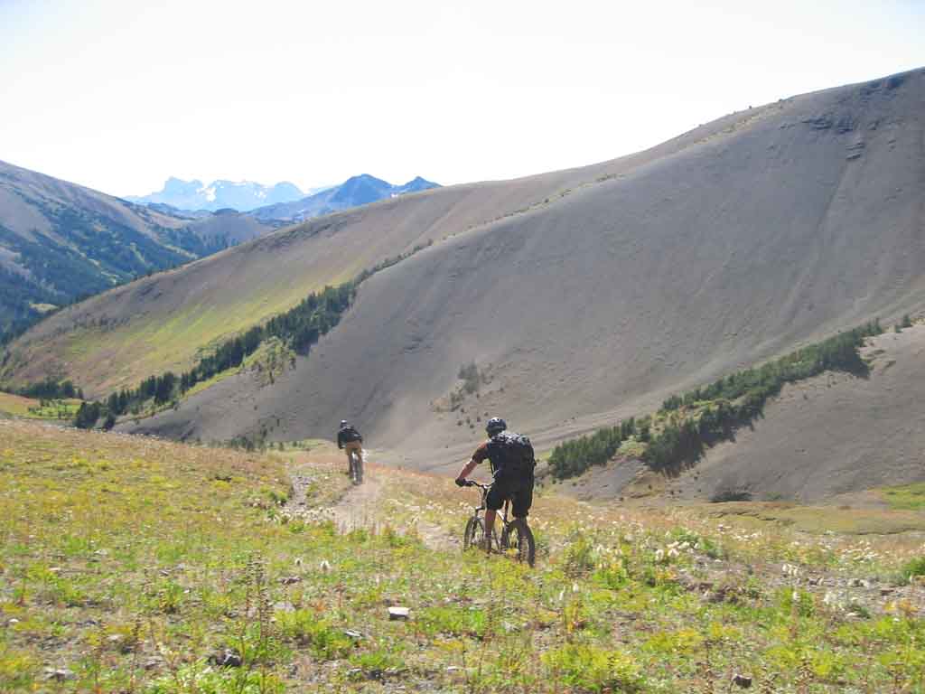
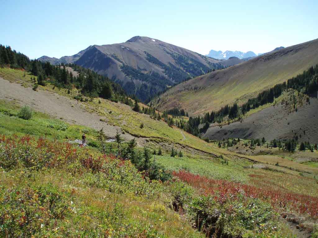
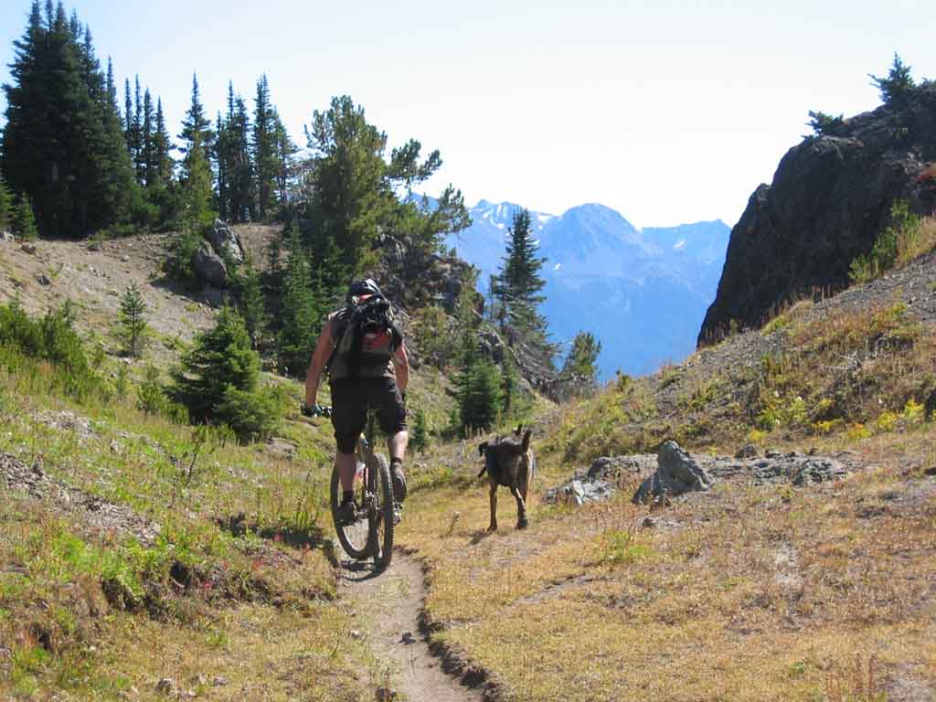
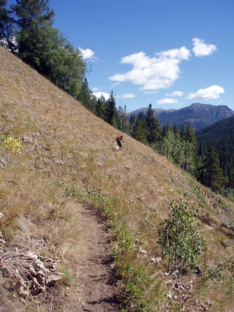
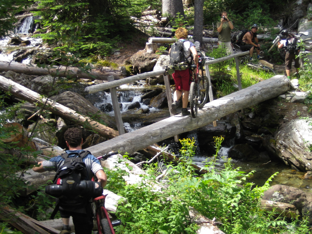
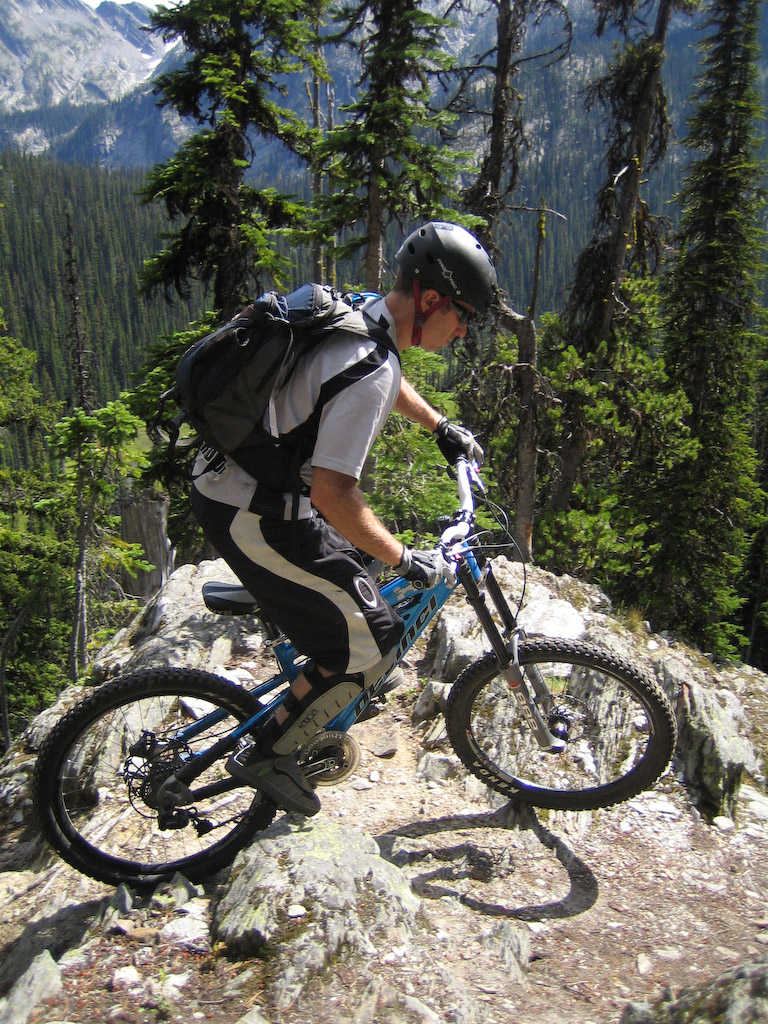
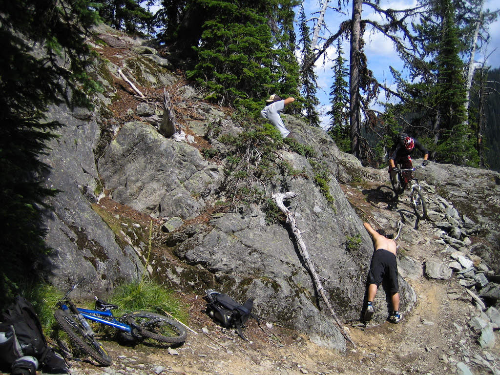
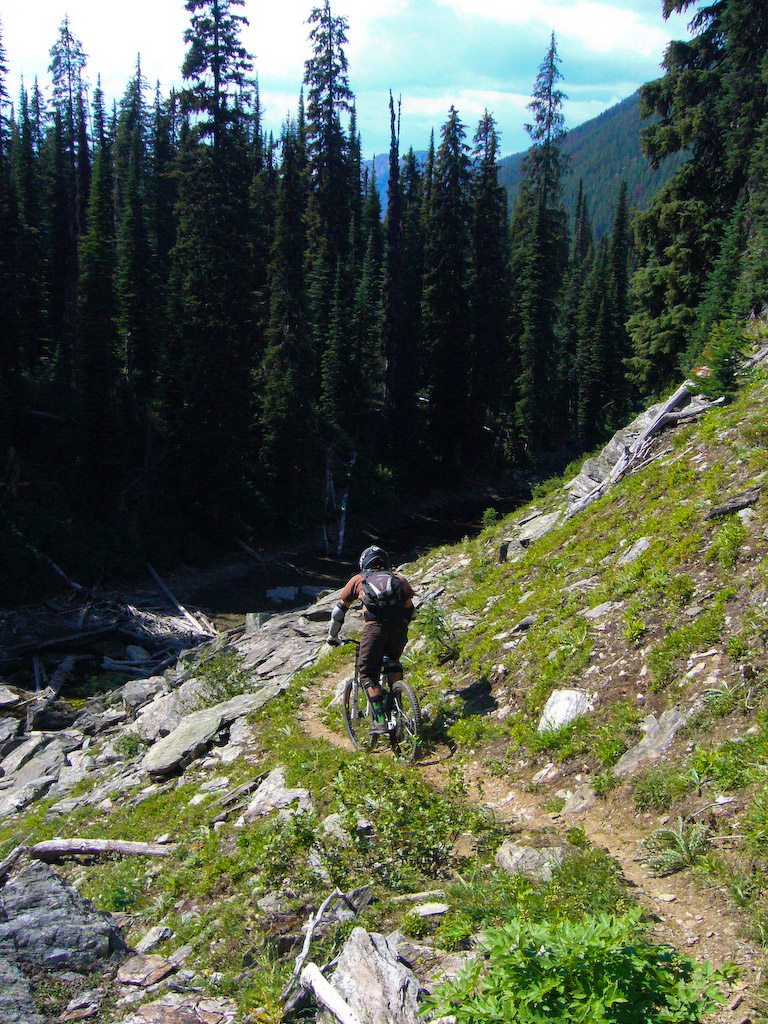
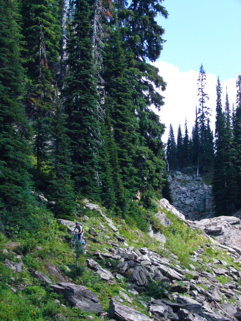
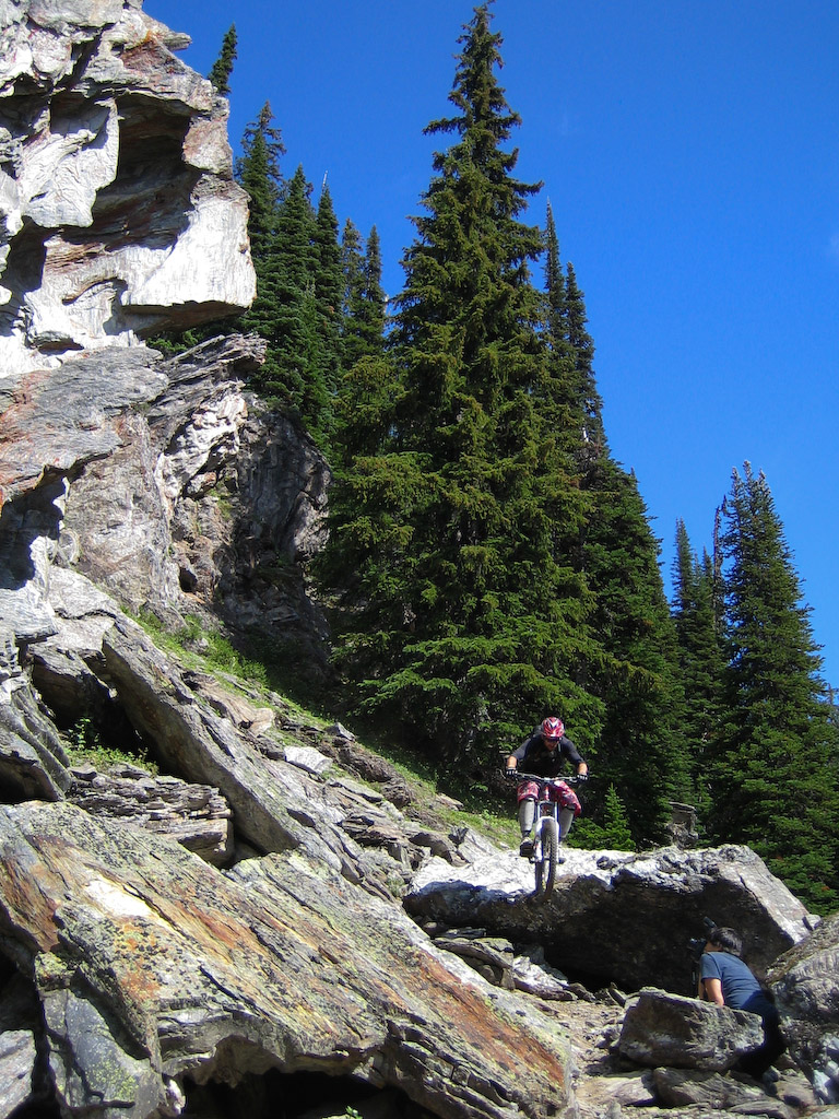
The first pitch was quite technical, and really scenic, so we took some time to shoot some pics.

This rocky area was the setting for an epic shot of our late buddy, Pat von Blumen. Couldn’t find the shot online, but if you want to see some epic shots by the same guy, check out Dave Heath’s site.

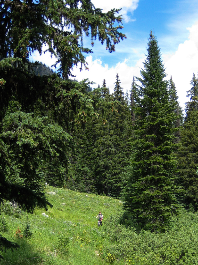
Look close, there’s a rider in there someplace…

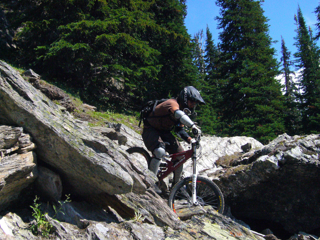
Wade at work again….

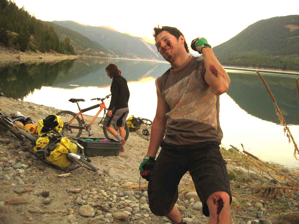
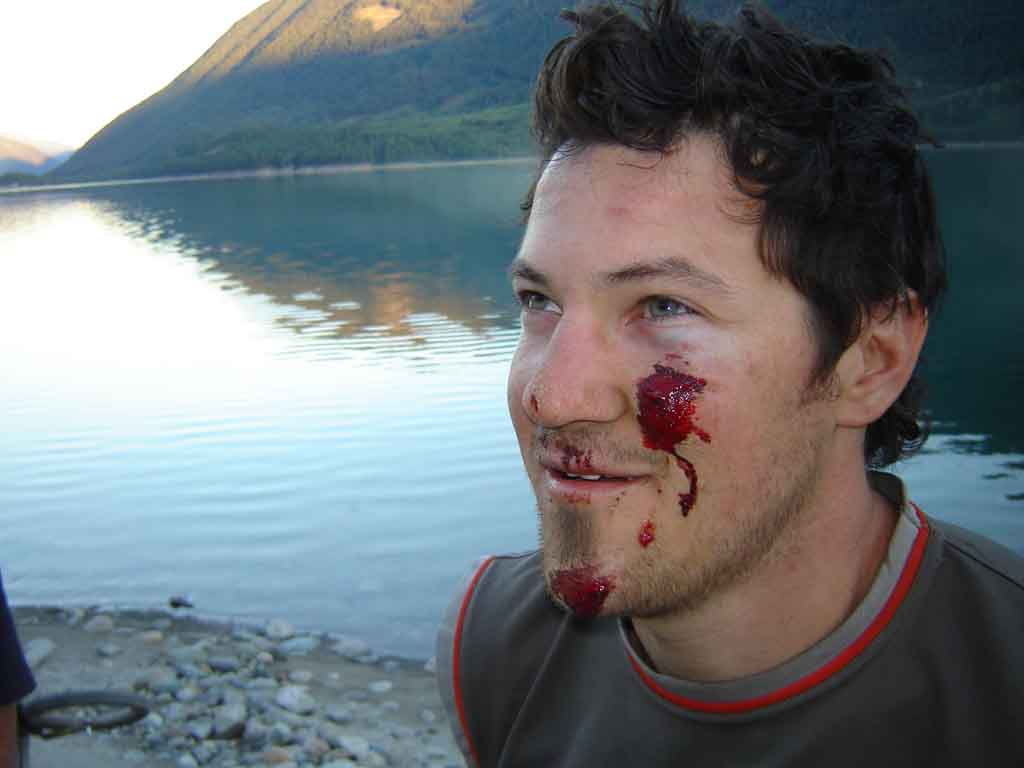
OK, so shortly after this shot, we got the greenlight from the photographers to start rippin. I was all keyed up from being in such a stupendous arena that I kind of lost my head and started pinning it on some sketchy sidehill. Wade said it was one of the more violent crashes he’s seen. I ended up cartwheeling about 60 feet and got out of it with some holes in my tongue, a chipped tooth, assorted bruises, and a hyperextended elbow ( I found out later that I got a hairline fracture in my humerus too). Ooops. I’m an idiot. Oh well, I was overdue for a good bail.

I hope it didn’t impact anyone elses day too much.

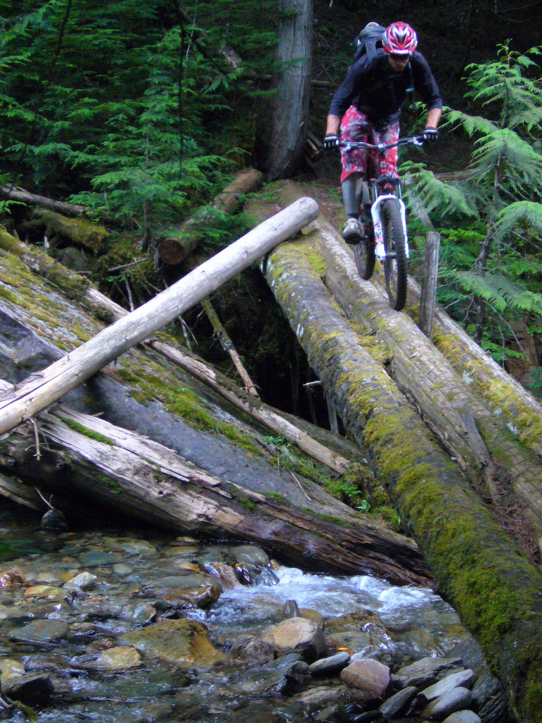
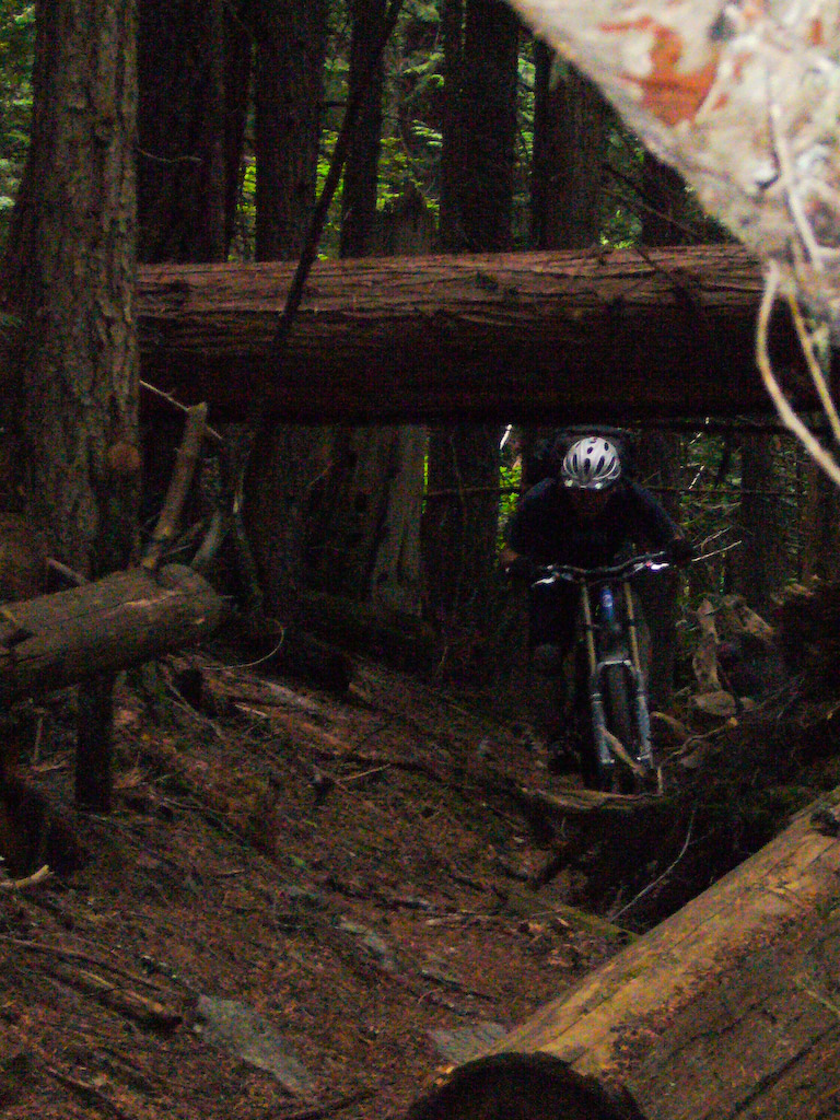
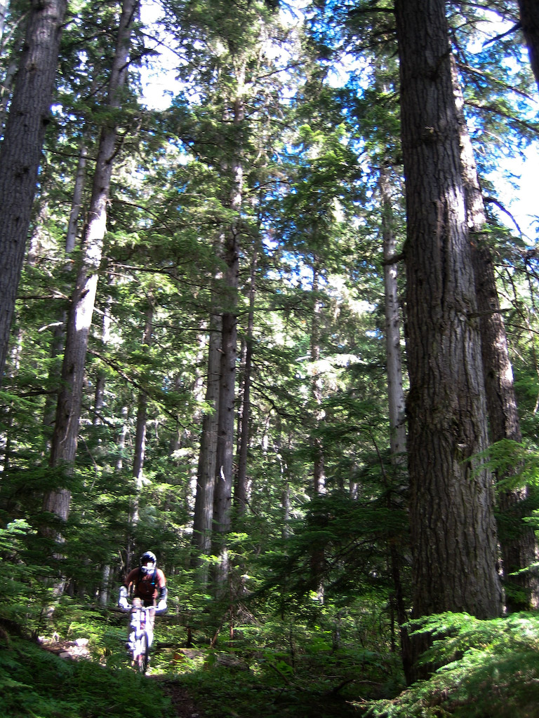
The trail down Lockhart Creek semed more like the coast than the deep interior. Huge trees and a dark forest. The only part that was like the interior was the speed. I’ve nover gone so fast in big trees.

Niclas is a big dude. Those trees are bigger…

Can’t even get Wade in focus. It’s fas-s-s-s-s-t….

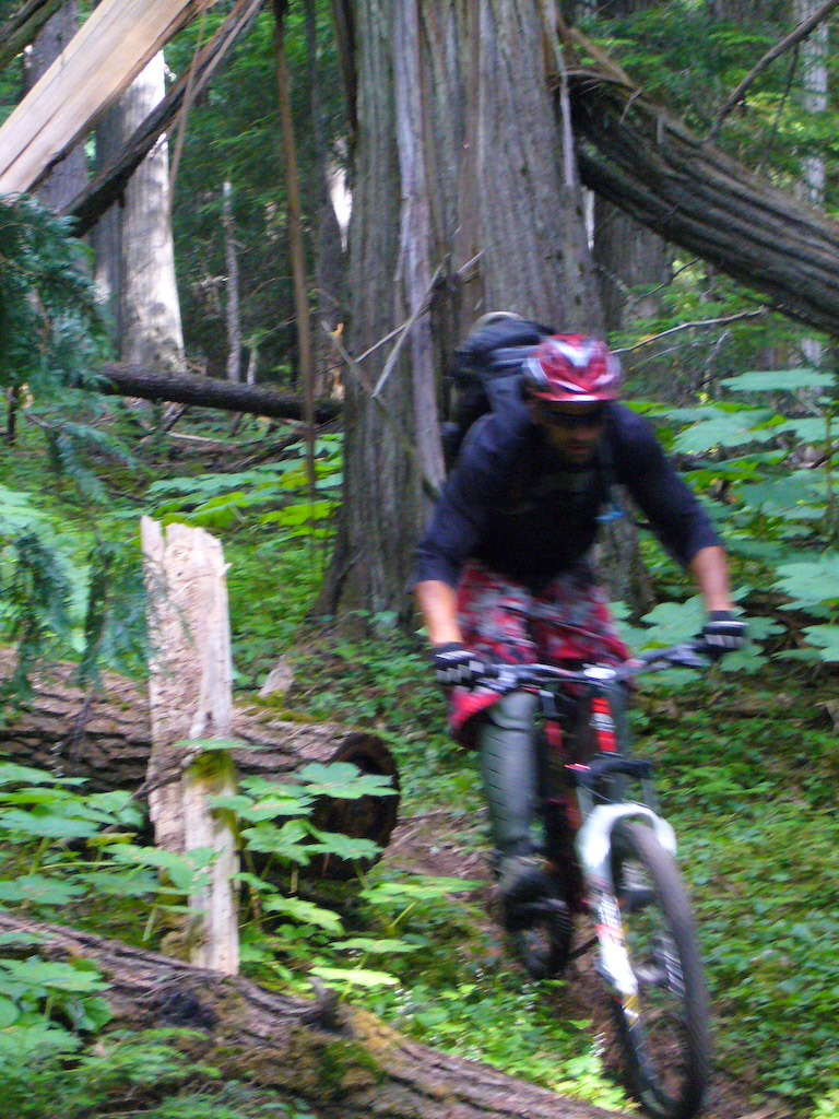
All I remember about the lower part of the trail was preloading into corners with both wheels drifting…..for like an hour straight. Totally worth it.

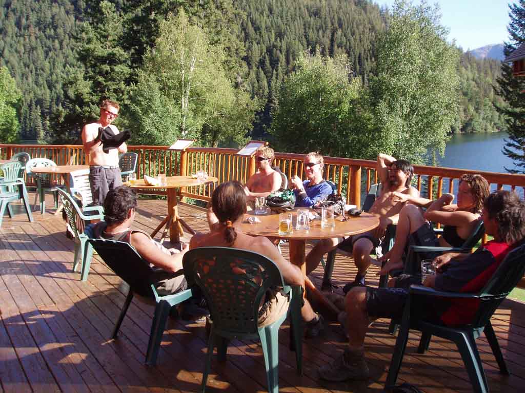
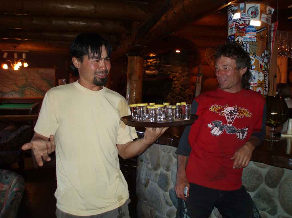
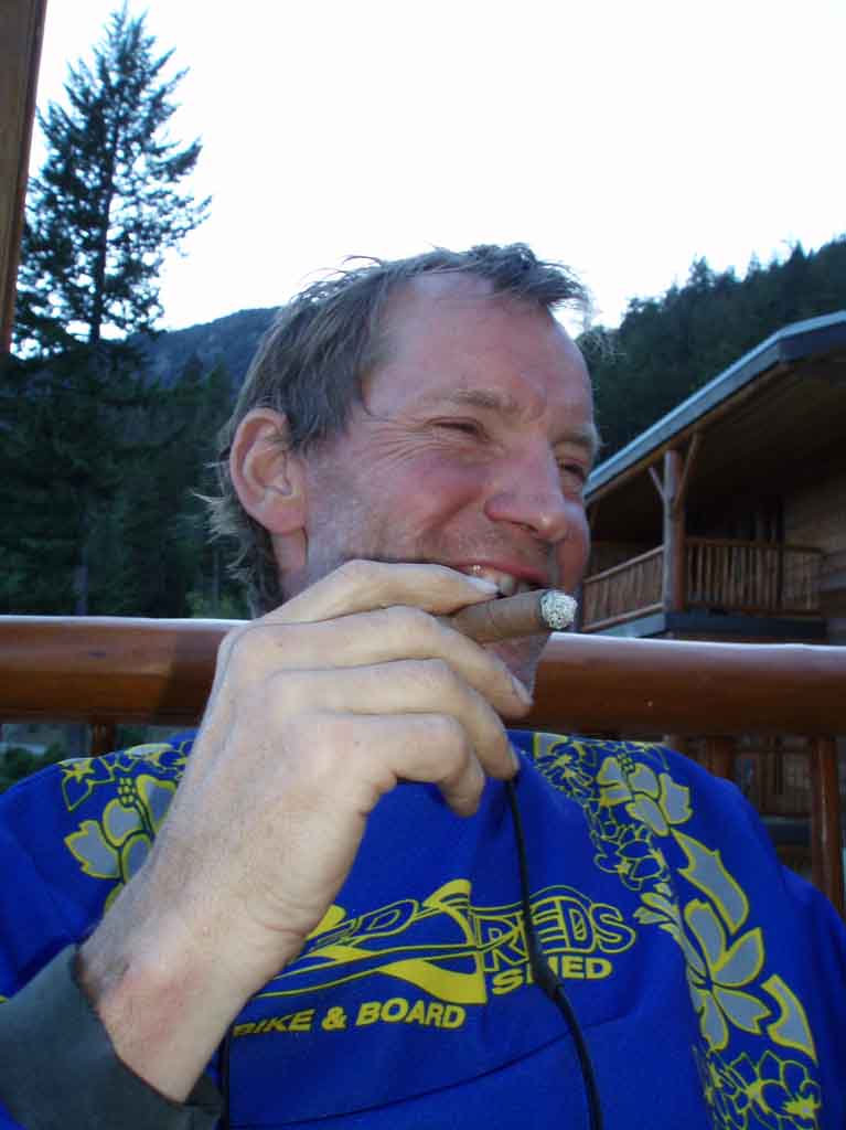
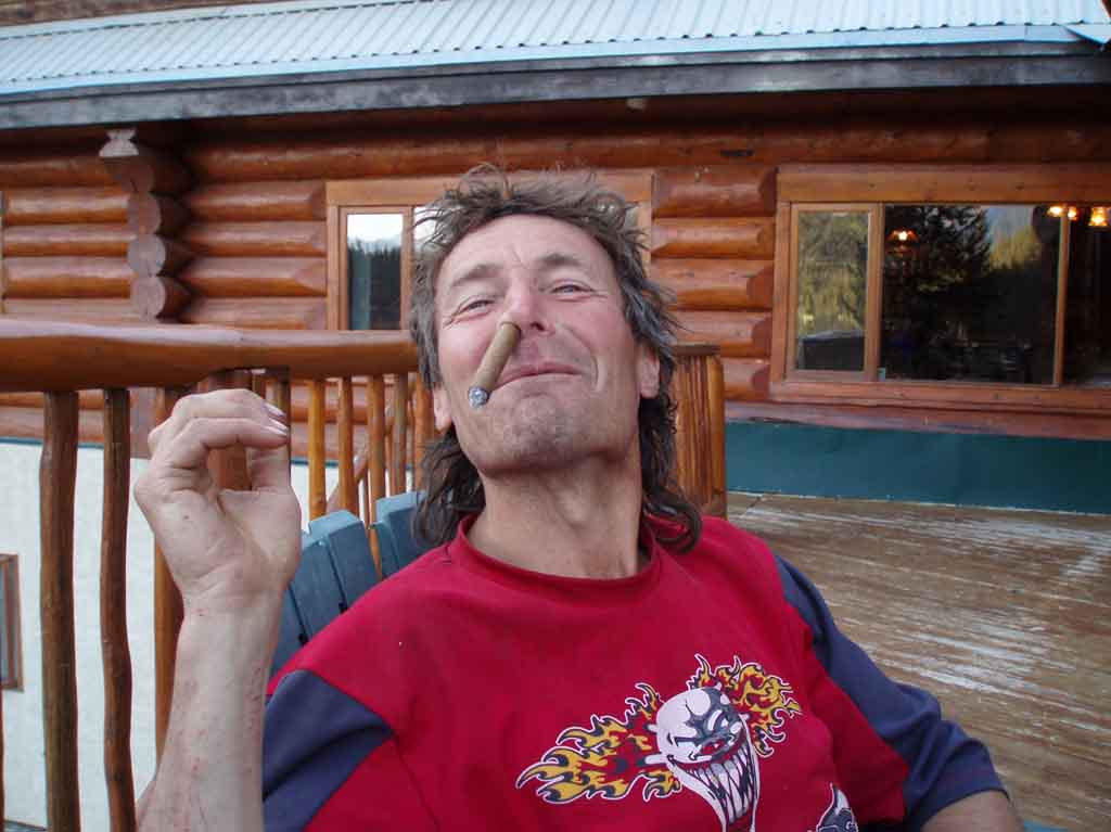
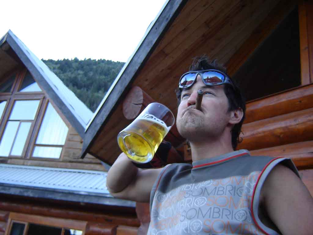
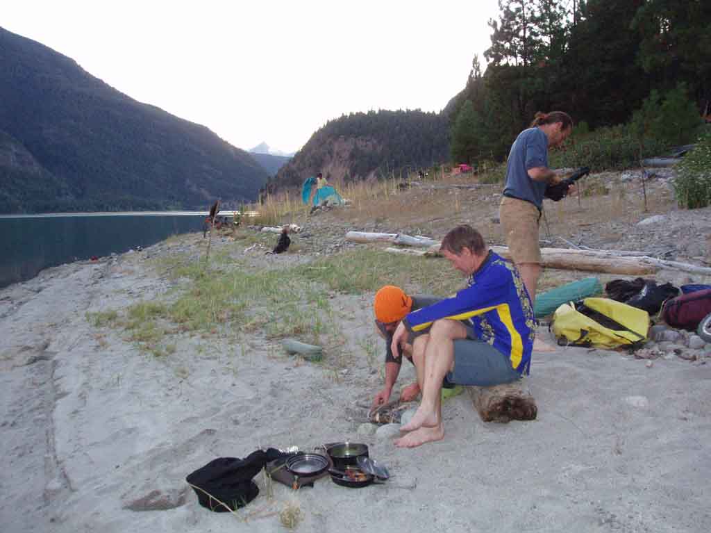
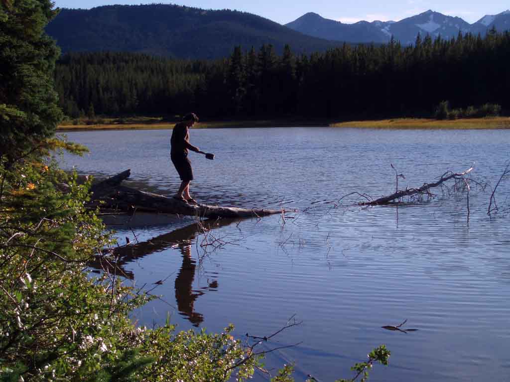
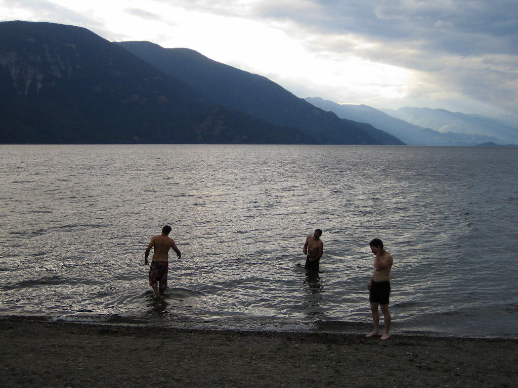
Oh, and some beers on the beach at the bottom were sort of OK, too.

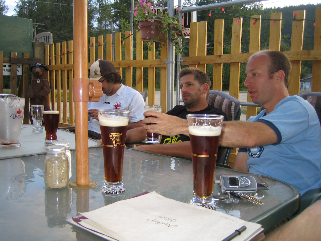
If one thing could improve that day…..I think some pints over dinner at the local were maybe all I could come up with.

Cheers! That was epic…..

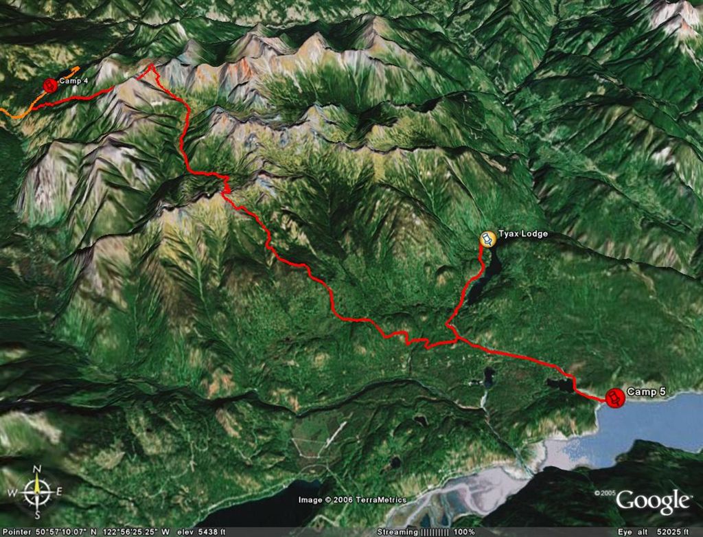
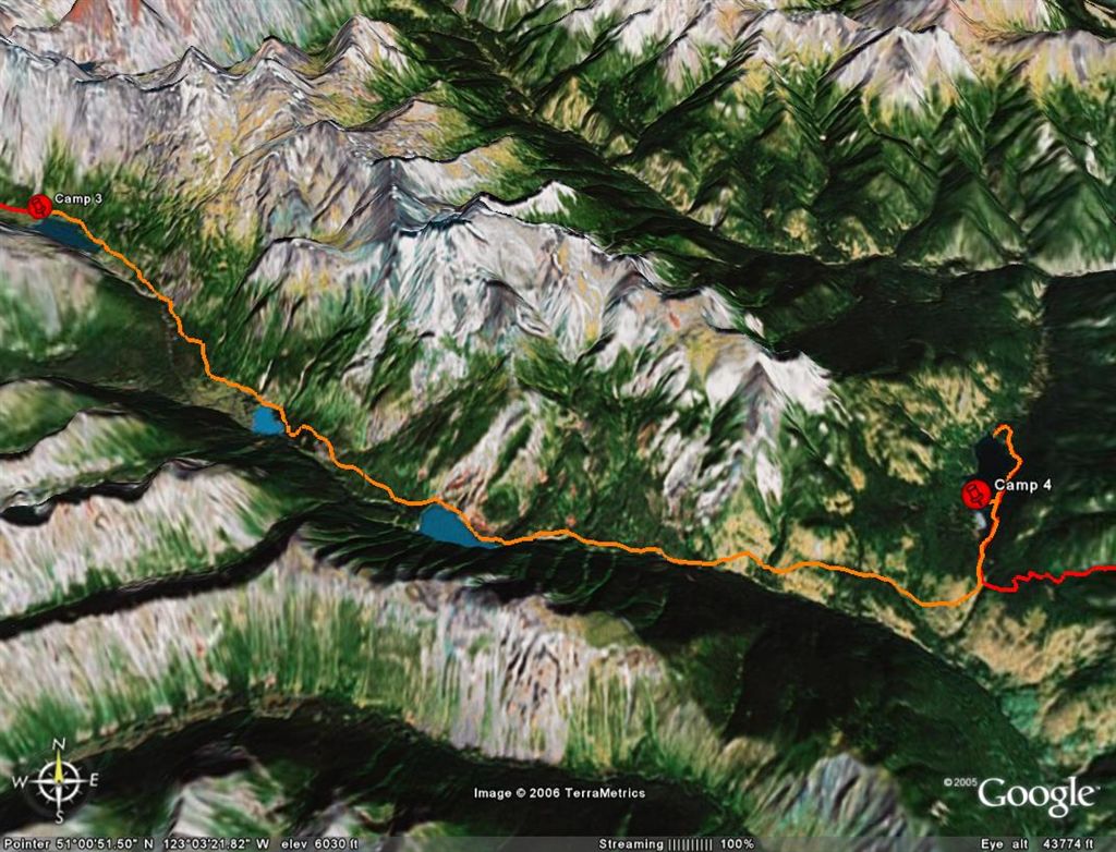
Oh, and I’ve got a special treat for all you geography geeks out there. Check out Lockhart Creek with Google Earth.

THE EPIC – Stage 5

Enter…Stage 5. The ppenultimate stage, the last day. Also, Labour Day…your last chance to wear white. Yeah …. right.

Grab the Google Earth version of this post HERE.

I’ve also got the whole tour packaged up in a single file HERE.

Last night was cool, but not fricken’ freezing like the night before. We woke up to crisp bluebird skies, and a little gift from my buddy Dale at Tyax Air.

Dale had a lot of loads going into Spruce today, but was empty flying back most of the day, so nice guy that he is he flew our trailers out for us. This meant that we could ride up and over Windy Pass and out via Eldorado Basin and Lick Creek free from our loads. Which is a seriously good thing considering the scale of the route today.

The cool air of the morning was great on the climb up Windy. Here’s Shreddie during a rare flat moment on the first climb.

It’s a helluva climb to Windy from the back side like this, but it’s worth it. There was lots of mandatory walking, but some of us are stubborn….

Not Guinea. He walked the whole way.

Yeah, the pass. We started well on the other side of those mountains in the background, four days ago.

Sort of like a moonscape up here.

There you go, right from the entry to the site.


Steve Mitchell photo.

Yeah, now it’s time to go down. This was the best section of the entire route. It seemed like endless flow.

See those two dark peaks in the center? That’s where we’re headed.

Here’s Peter. I couldn’t place Peter in my memory for the first little bit. He sure seemed familiar, then we figured out that I used to tune his bike way back in ’92 or so. He had a green Kona Hot all macked out with XTR. Now he’s riding a plastic Giant. Man, you should have seen that sucker flex when he was pulling the trailer. Not that it slowed him down any. That little S.O.B. is strong.

Bri guy on the west side of the pass.

Chris railing a corner.

Just to put it in perspective. Look for the rider.

Same spot, looking back. Usually you’re going up this way to get to Spruce Lake.

Now we’re down into Eldorado Basin.

Like daughter…

…like father.

Steve charges into Eldorado.

After a timeless descent into Eldorado Basin, we had to turn and climb up to Eldorado Cabin.

..which of course deserved a little break. Only one more climb to go….

The last pass.

The final descent is the Lick Creek trail, which isreasonably technical and almost steep in a couple of spots.

The really cool thing for me was I that I hiked this trail with my dad and his buddy way back when I was about 12. See? That’s me…

This is my old man, back when he wasn’t so old. he might have been feeling kind of old that day, as I seem to remember an awful lot of Budweiser at the cabin, but he couldn’t have been any older than 42 there.

See, the same lake in the background. I was able to match a couple of terrain features in shots from both trips, but I won’t bore you with those. If you really want to see where we were, check the Google Earth links at the top of the post.

OK, downhill time.

Let ‘er rip…

Peter doing just that…

After hours of downhill, and encounter with three bears, a couple of crashes, and a little dirt road action, we rolled into Tyax Lodge to collect our trailers.

Of course, with a bar right there, what do you think happened?

Things really went to pieces when a Dutch tourist started handing out the cigars.

Some of us were a little unclear on how to smoke them though.

Steve thought he had the program figured out. A ga ga ga ga ga……I yam what I yam.

Ooops. I guess that wasn’t such a good idea after all.

“But will I still be cute?”

Our last camp (well nearly last) on Anderson Lake.

We had originally planned on picking up a lift in Goldbridge and trying for Tenquille Lake near Pemberton, but most of us were falling apart at this point. Shreddie and I had sore knees (mine was essentially toast), Steve was a crusty scab, Shane had a HUGE crash and smashed his back, and everyone else was just plain tired, so we called it off and hung out in Goldbridge waiting for our ride back to Williams Lake.

In a word … EPIC. Now about next year…..

THE EPIC – Stage 4

Get your Google Earth version HERE.

Holy crap it’s cold this morning.

Beautiful day though.


Steve Mitchell photo.

As yesterday was overly gnarly in the effort department, we had a mellow start to today. It’s funny, but the forecast had today as the ugliest weather of the week. We actually saw the storm pass us by to the south, but it just slid on by and the summer came back with a vengeance.

This next one is Steve’s too. Killer shot.

The landscape and vegetation is markedly different this side of the pass, but there’s still lots of sidehill rocks to deal with.

Whattya say to THAT?!

Probably the same thing you’d say to this.

Steve and Guinnea take a break.

Once we descended a little further we got into classic Spruce Lake meadows and fields.

Hour after hour of this kind of riding. What a drag…

Those are the heights above our destination, Spruce Lake. My mom tells me she used to go fossil hunting uup there in the 50’s. It’s pretty cool looking at her old pics of this area. It really hasn’t changed.

Today wasn’t all smooth sailing. Theresa’s B.O.B. finally packed ‘er in, so it was sacrificed. We divvied up the bits and carried ’em out.

Shane had a couple of issues too, but he was able to keep moving forward.

Yup, that’s broken alright.

Spare parts for next year.

Ha Shreddie…that’s what happens when you bring your dog AND your girlfriend. It’s one or the other, buddy (Theresa’s gonna punch my arm pretty hard next time I see her over that one).

Ho hum, more epic grasslands with alpine vistas.

Once we got near the end, there’s these aspen groves and crazy grasses and shrubs that you go cruising through. It’s hard to show it in a pic, but it’s simply amazing.

Just one little push up, and we’re going to be at the lake…

Oh yeah, in the clear now. Shane in the shadow of Mt Sheba.

We ran into Dale, of course. It’s too bad he’s so busy, becasue I know he’d enjoy this trip. He’d probably do it in 18 hours straight, but he’d be into it.

Steve grabbing some agua at Spruce.

..and for dessert, the birthday boy meets the green fairy.