Fel Ci Efo Dau Gynffon – Day 3

Another sunny day? What is this…..Wales?

Richard would be taking a rest day. At least he’s not gonna miss much. We hit up some local high elevation trails that I’ve never seen before, courtesy of our pal Vance.

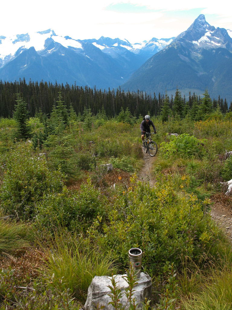
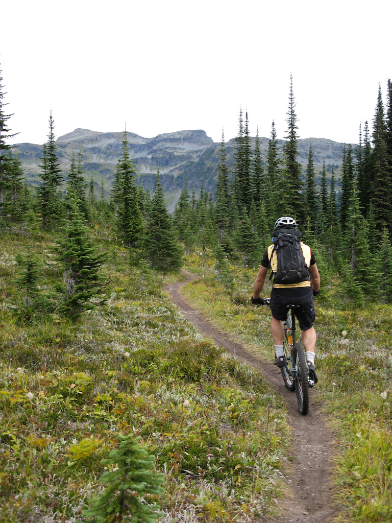
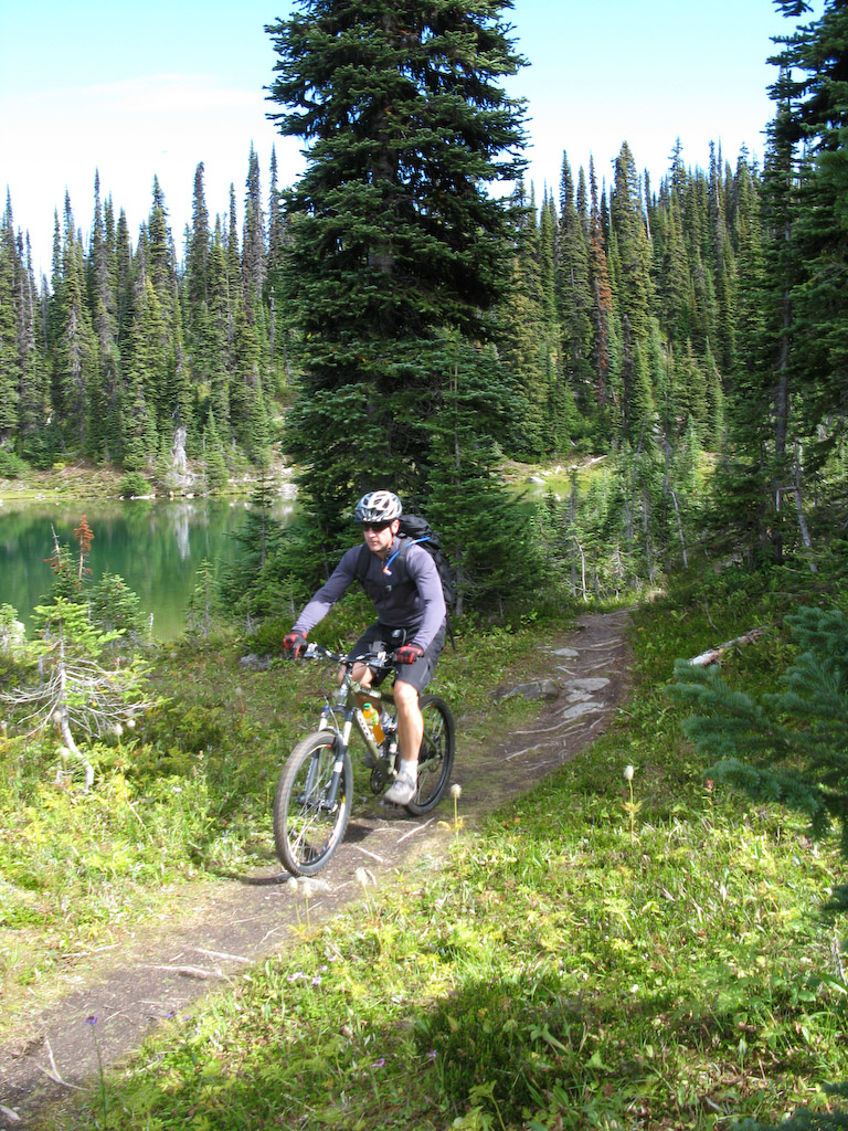
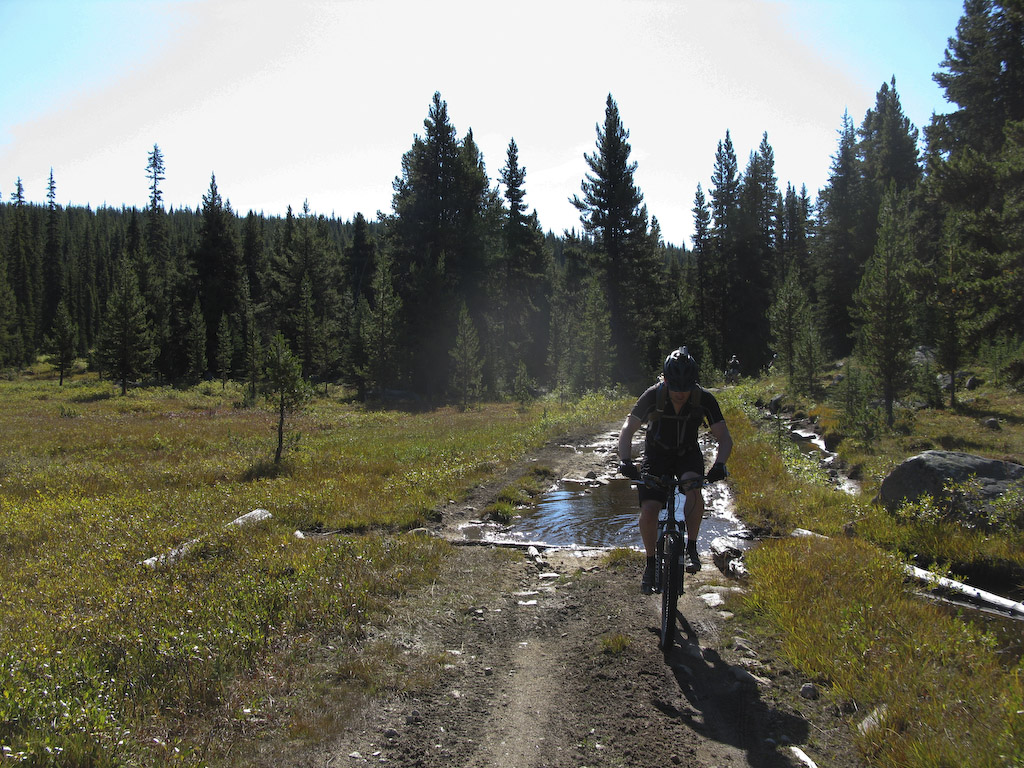
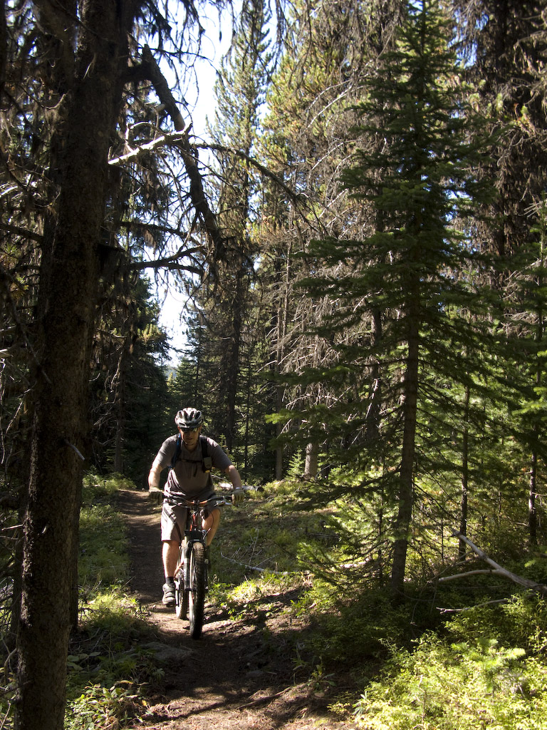
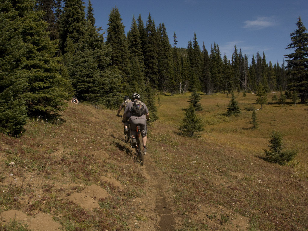
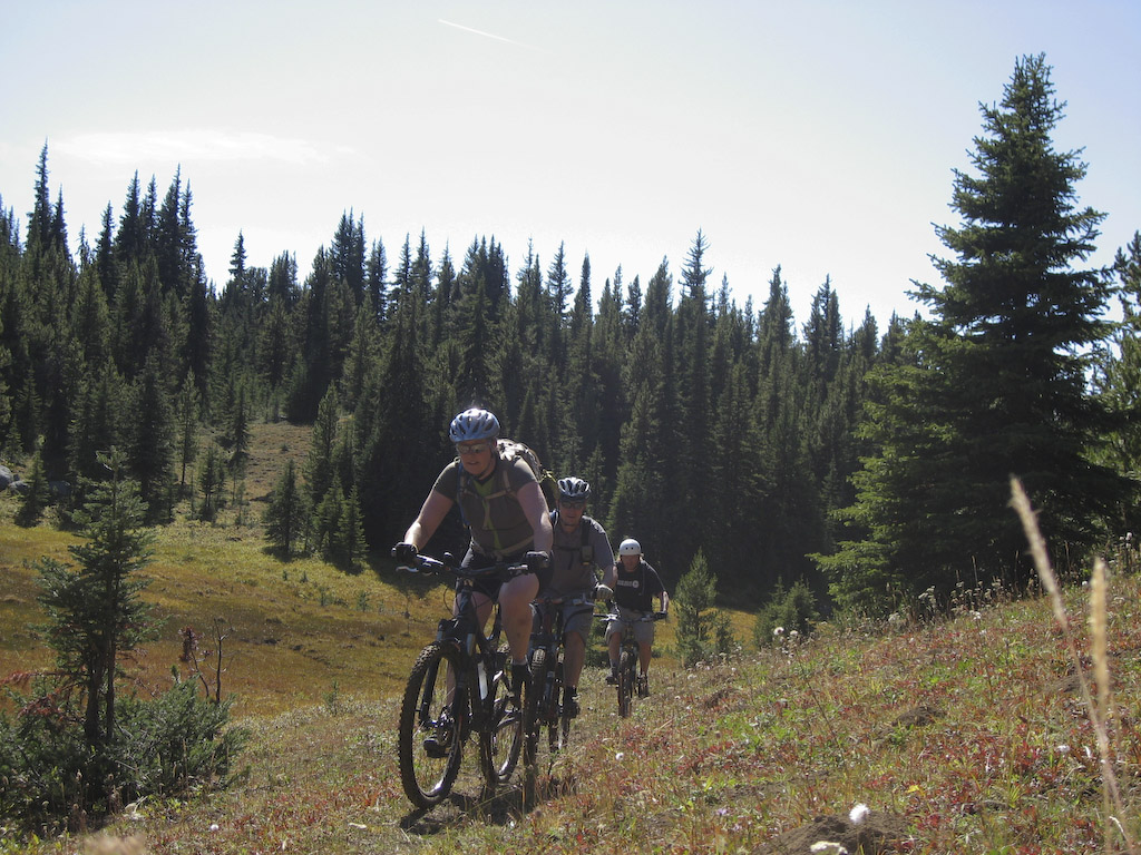
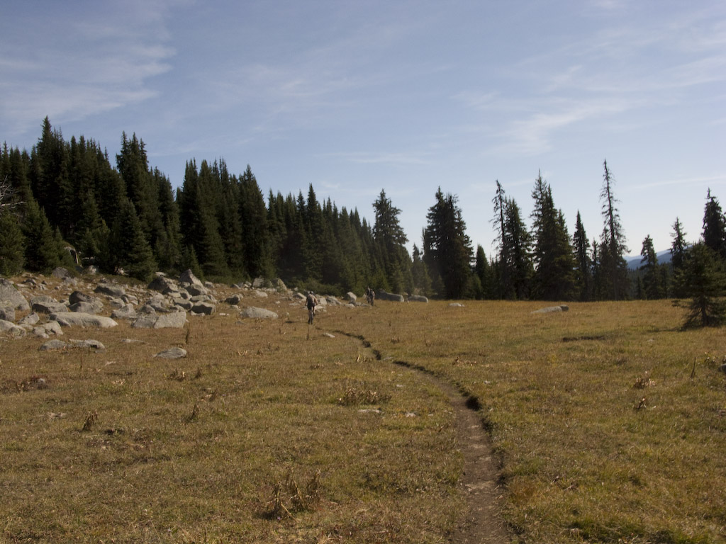
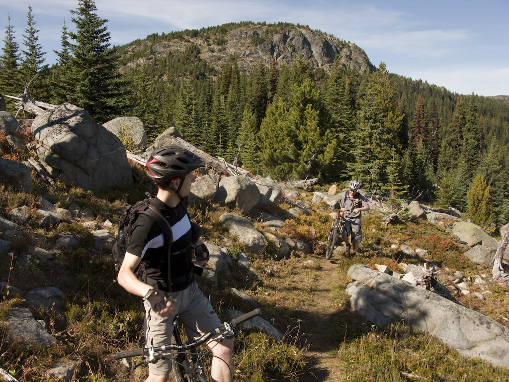
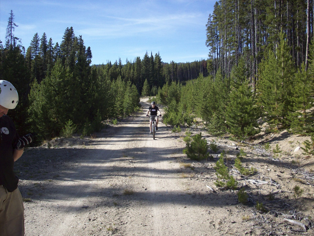
A nice warmup on doubletrack got us ready for some serious sub-alpine singletrack.

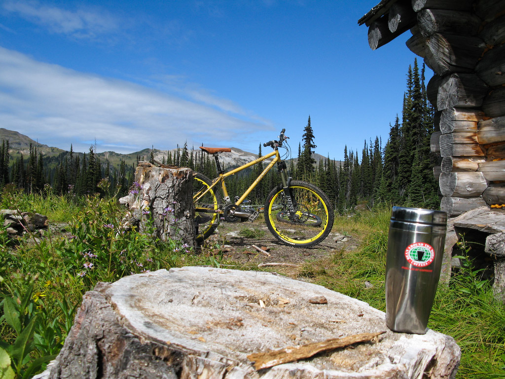
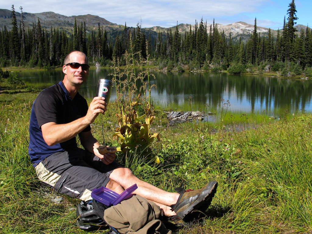
This is actually my parents turf. They’ve been cross-country skiing out here for years, and have a small warming hut very near here (if you know where to look).

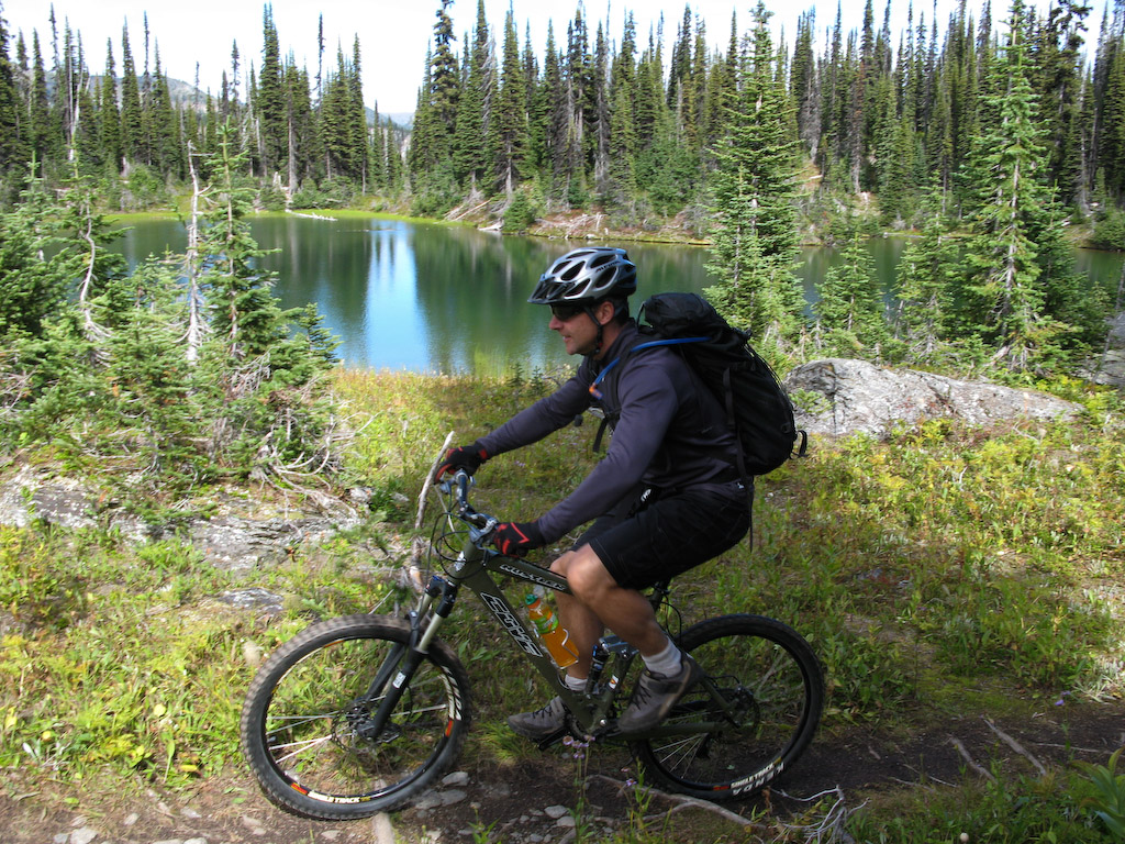
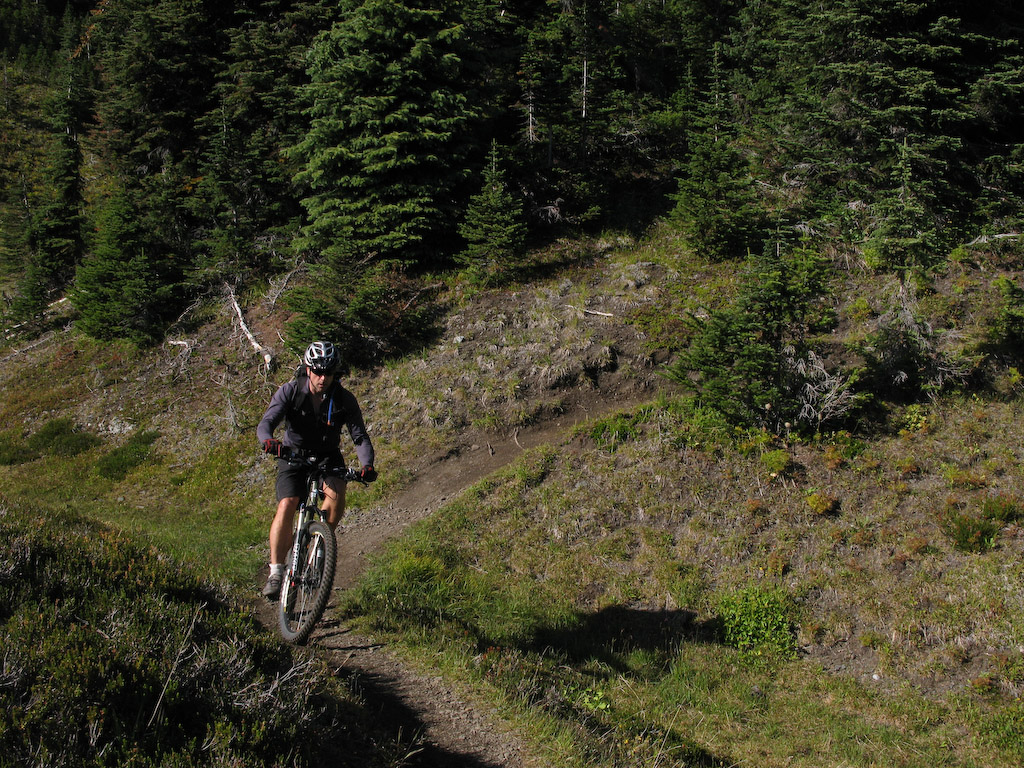
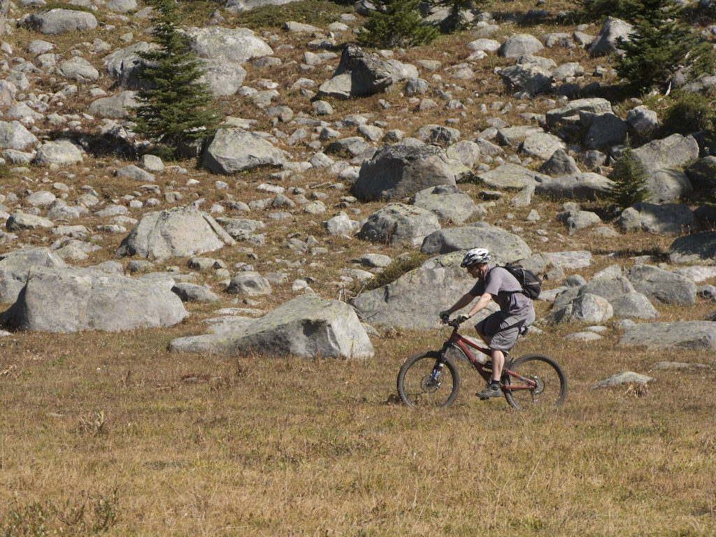
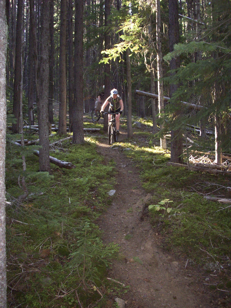
A couple of sections of the old road are actually almost technical with the roots and rocks, but it’s nothing like the Shore. the singletrack soon took over anyway.

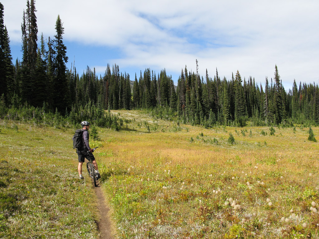
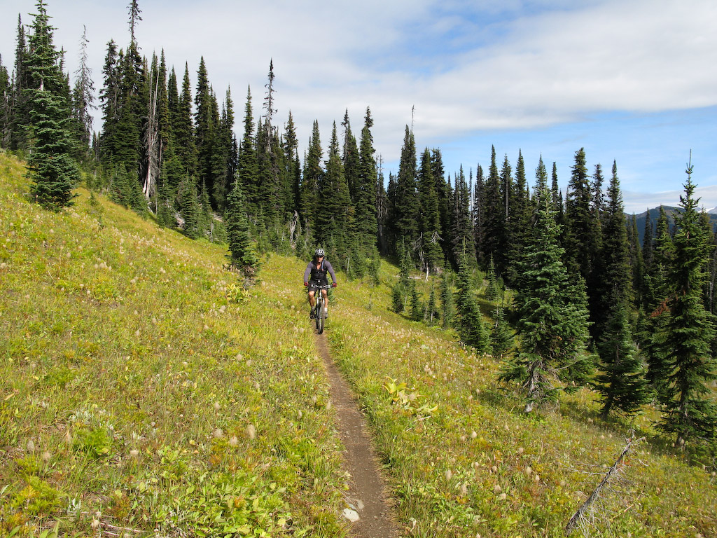
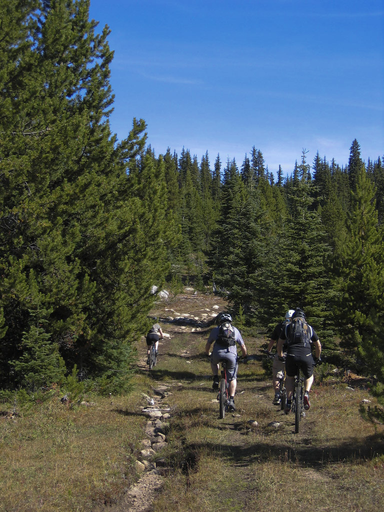
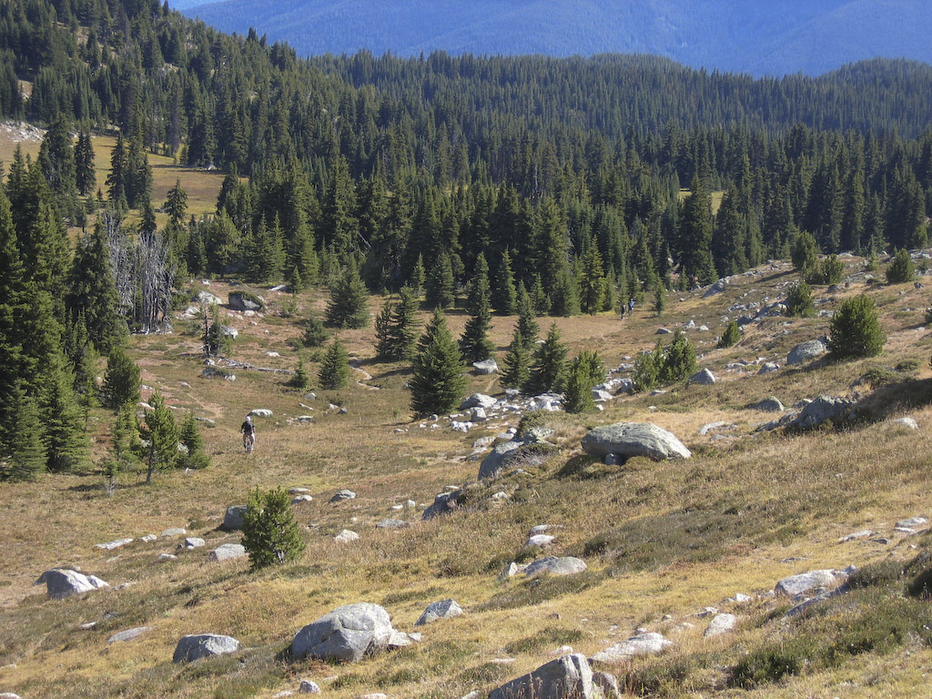
Now it’s almost like the Chilcotin. We’re at around 6500′ most of the time in here, so it’s a bit tough on the sea level types, but oh so worth it.

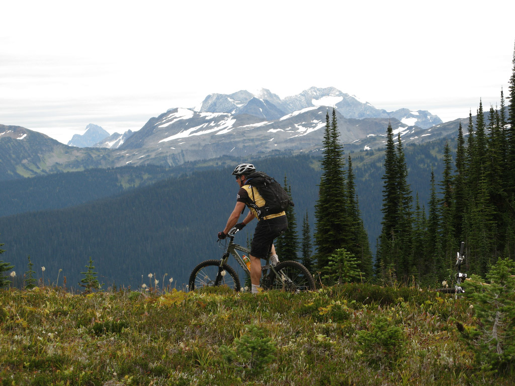
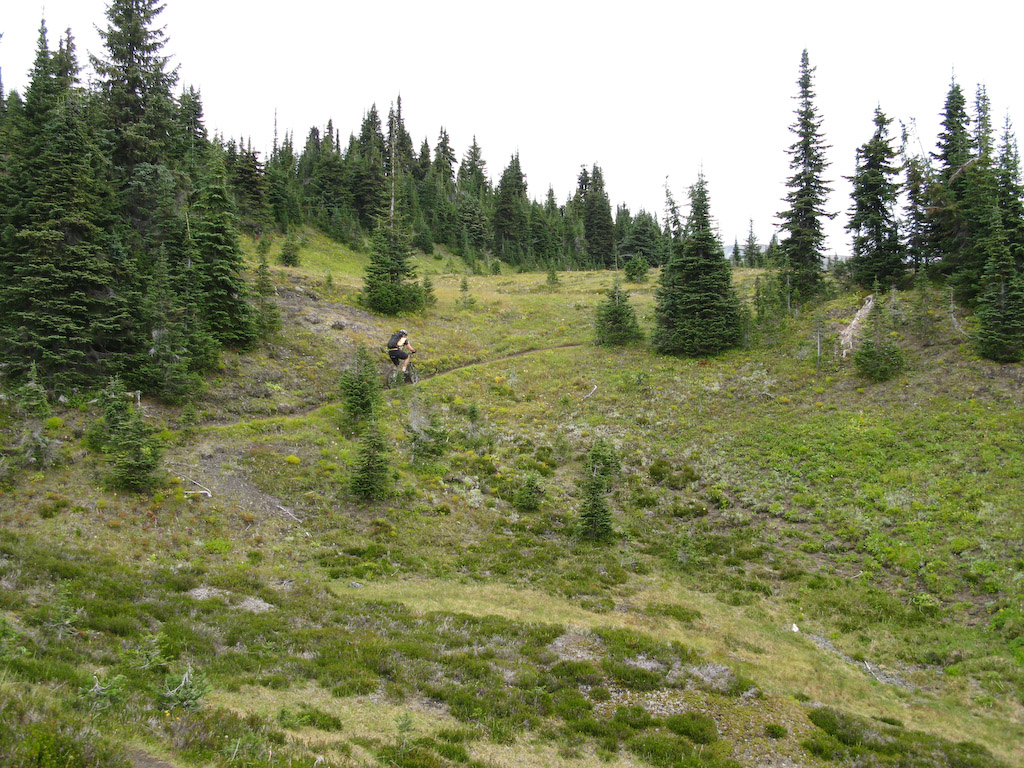
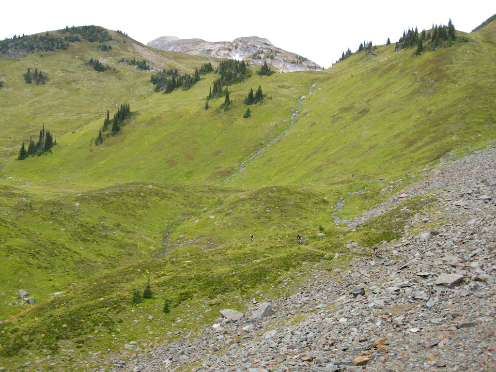
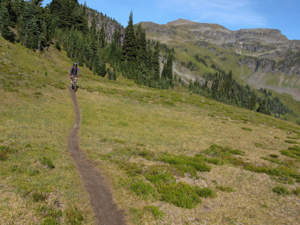
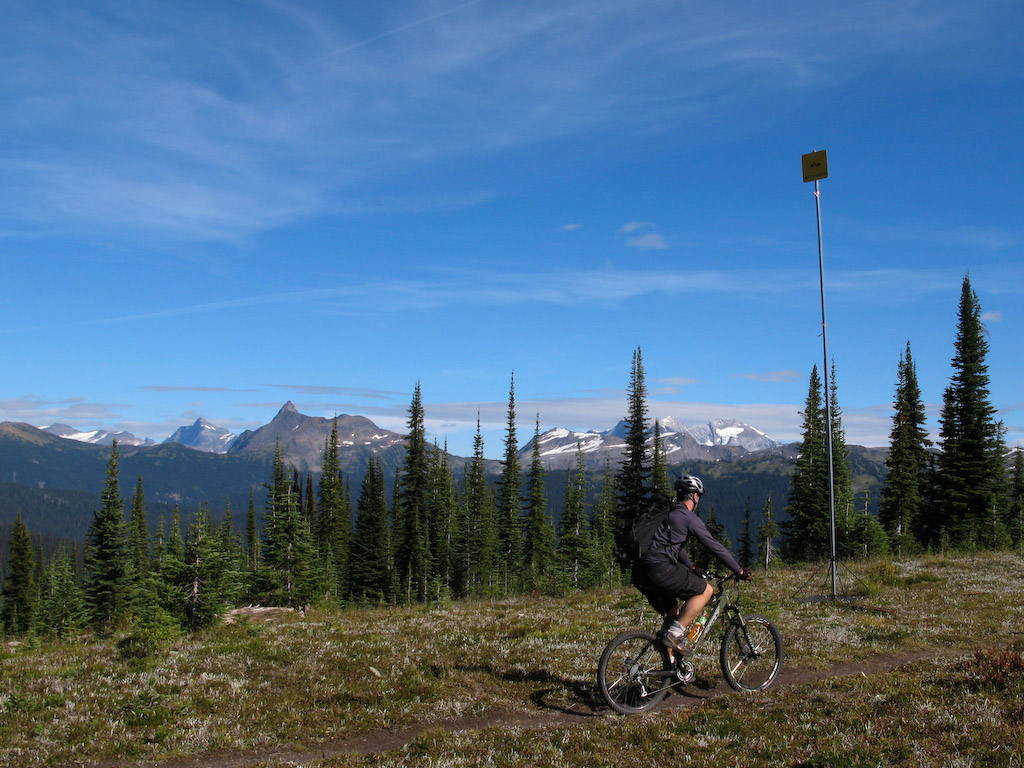
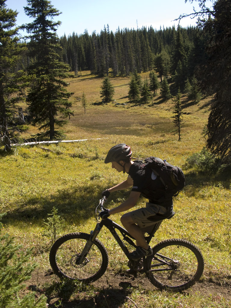
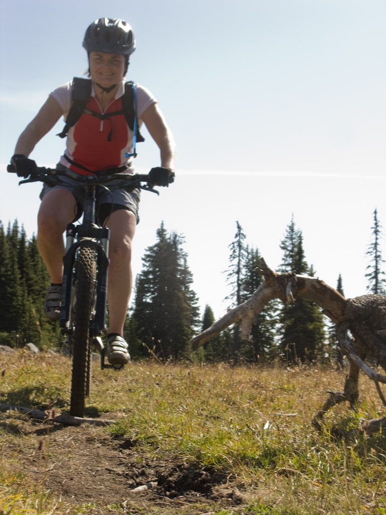
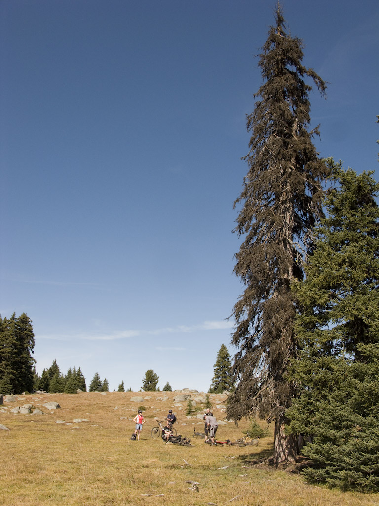
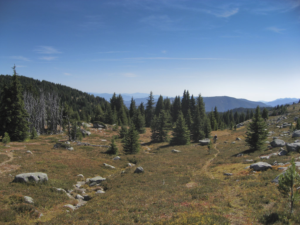
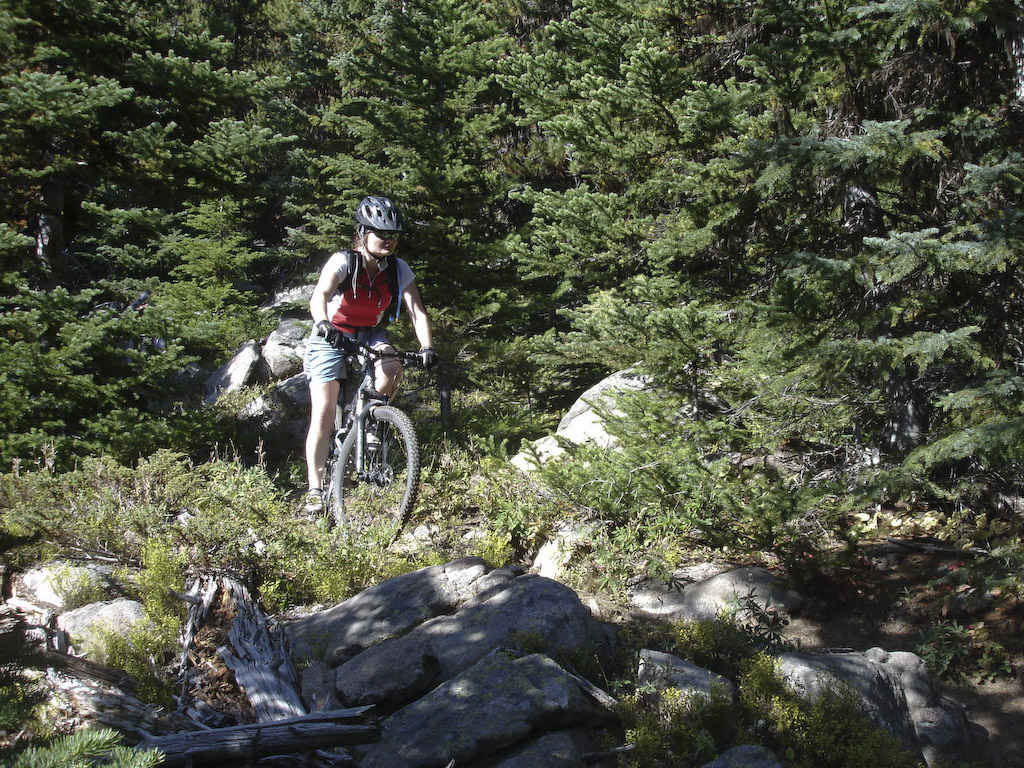
Once we got into the meadows the elevation wasn’t a factor at all.

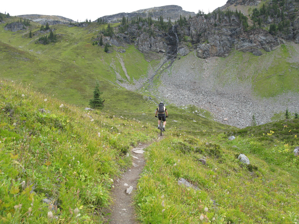
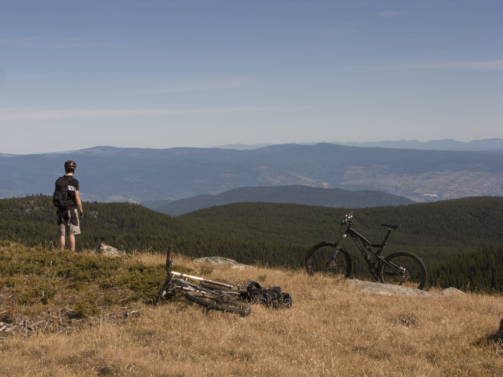
Graham couldn’t be bothered with the views. Head down…hammer.

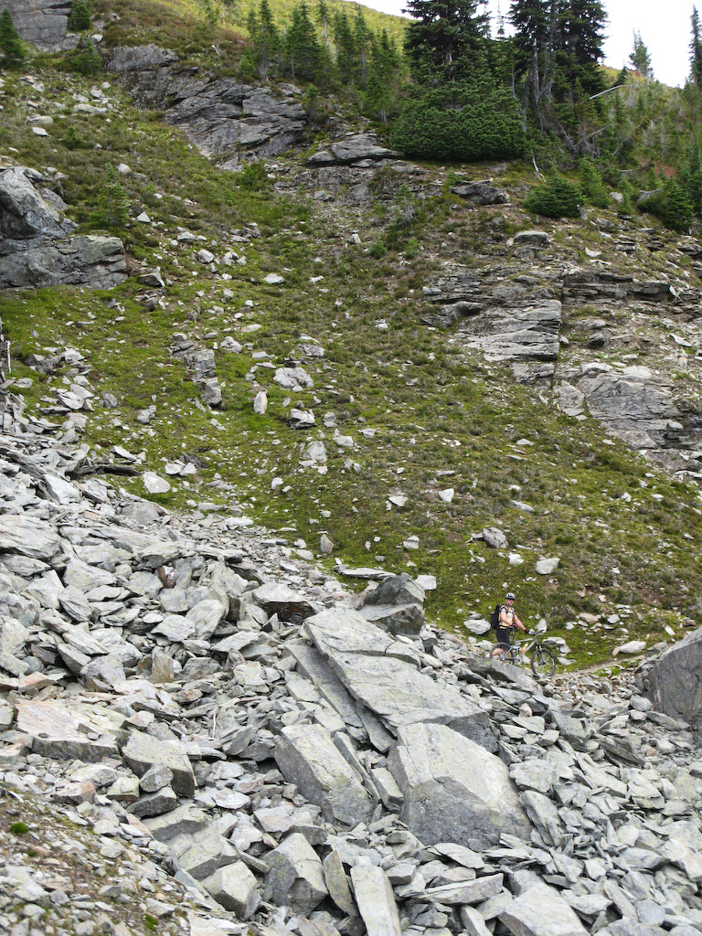
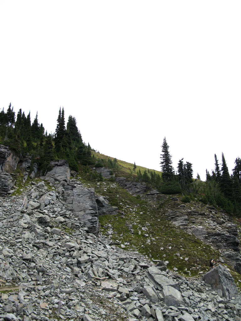
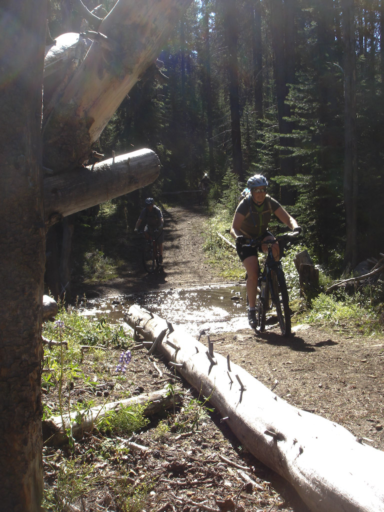
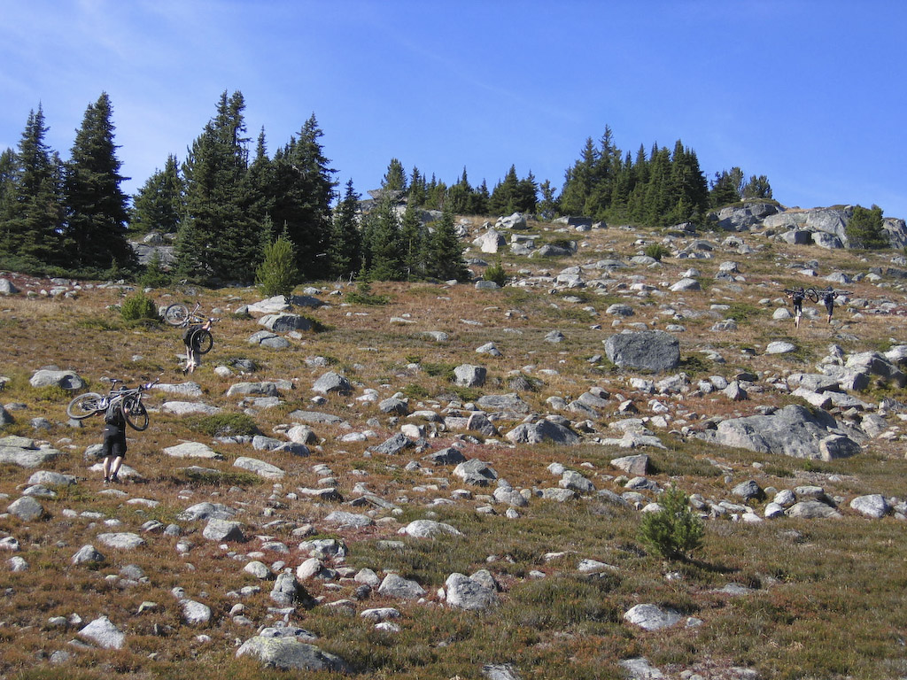
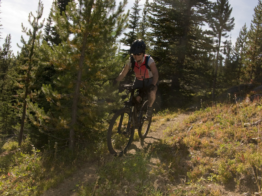
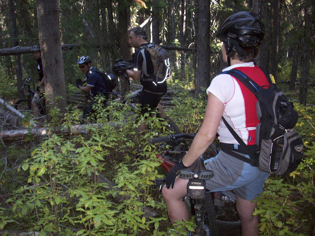
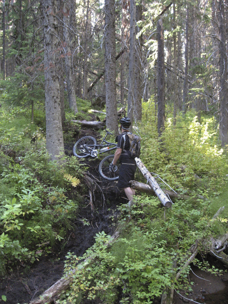
OK everyone, it’s another technical section…..

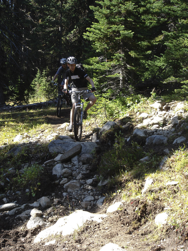
Whew..glad that’s over.
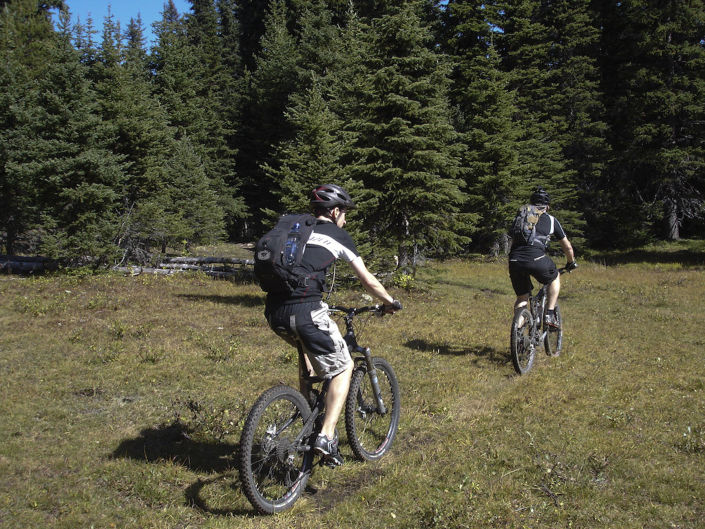
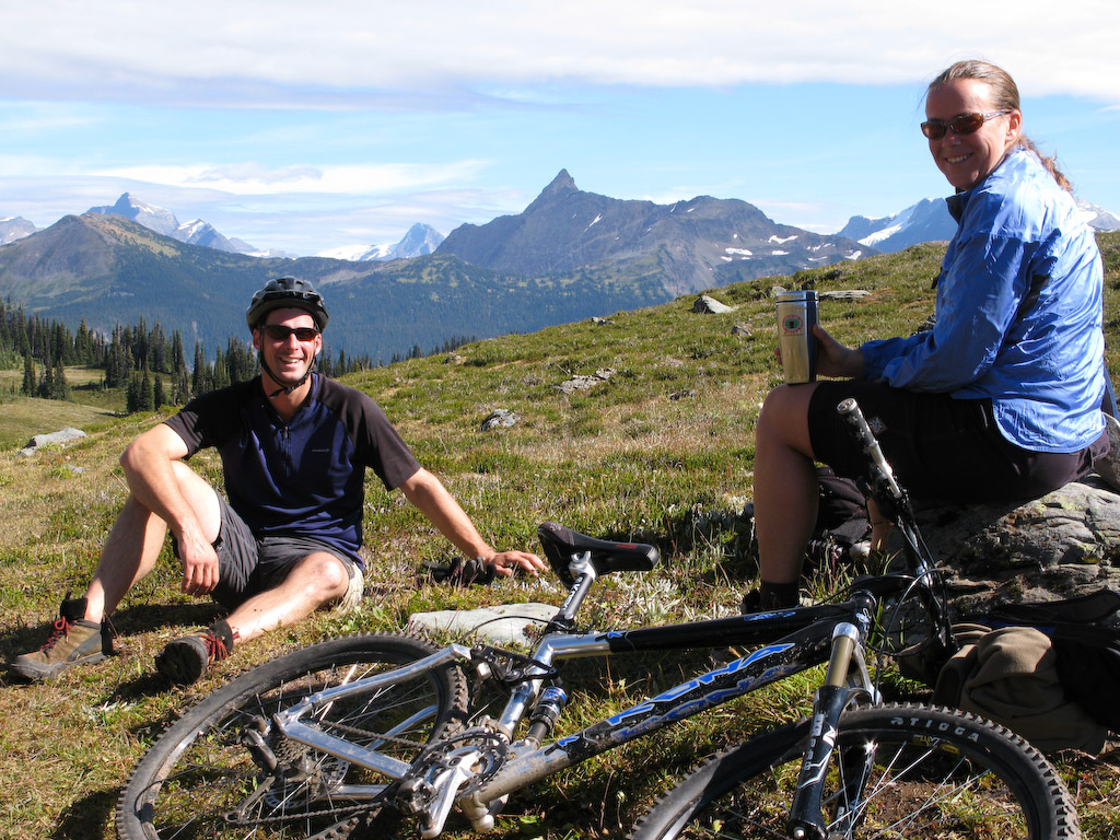
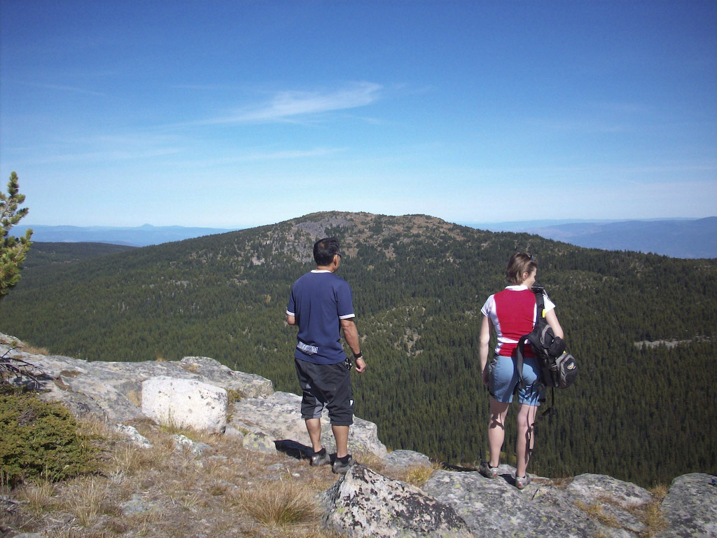
All smiles.

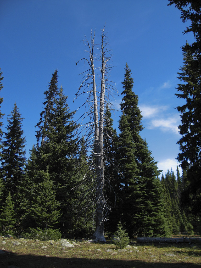
This is serious Clint Eastwood country.

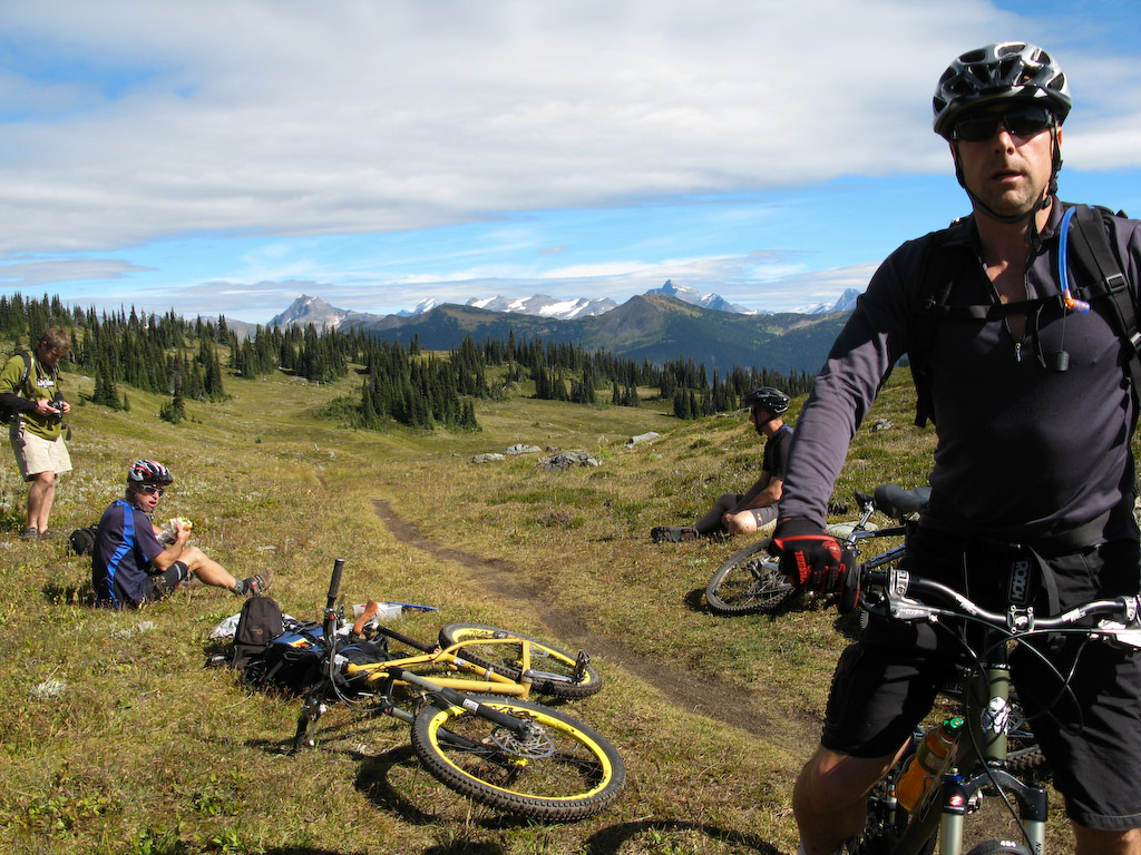
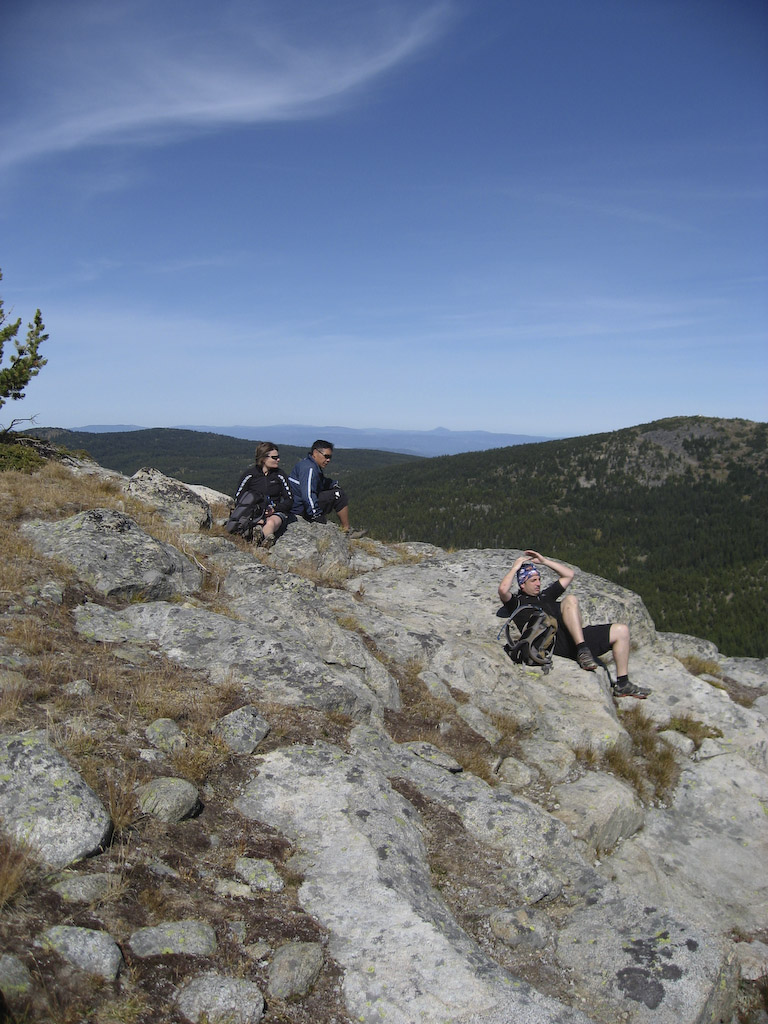
More smiles at 7000′.

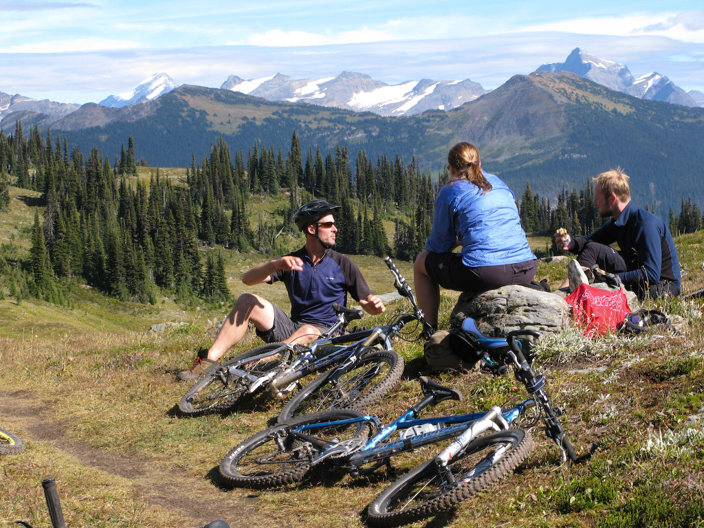
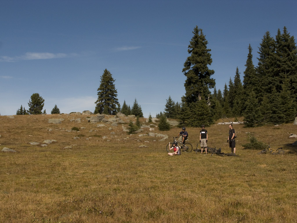
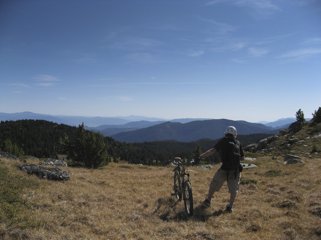
We needed a bit of a rest for the final climb.

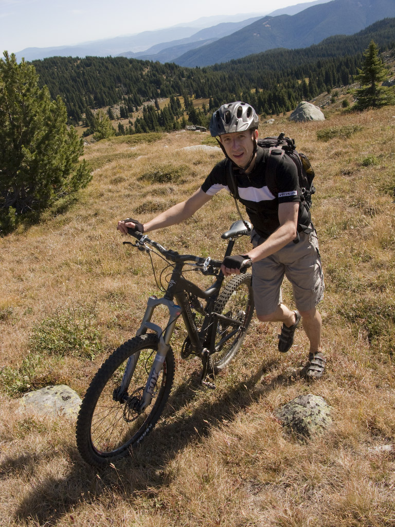
The last 300′ are always the hardest…

…right Graham?

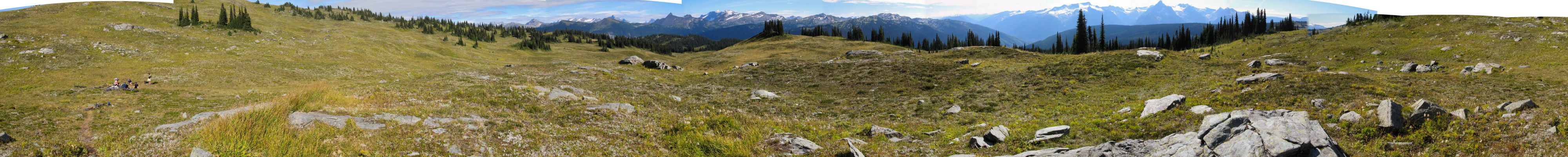
7 250′, looking east over the Okanagan Valley.

South.

North.

East again.

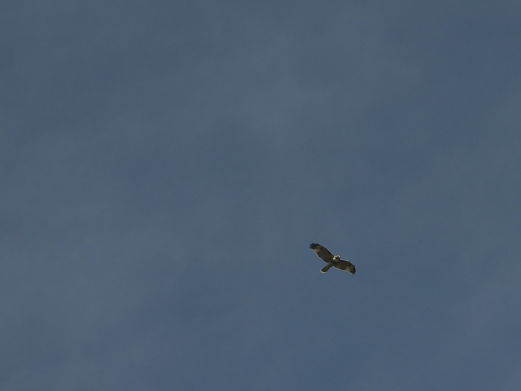
Today’s wildlife shot…. probably a Coopers Hawk. Hard to tell the difference from here though. They all look more or less the same.

Northwest.

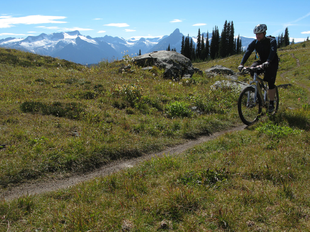
OK, enough rubbernecking. I’m getting dizzy.

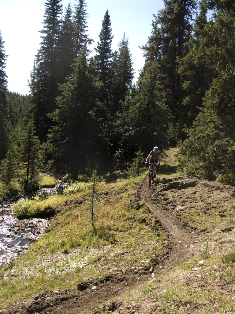
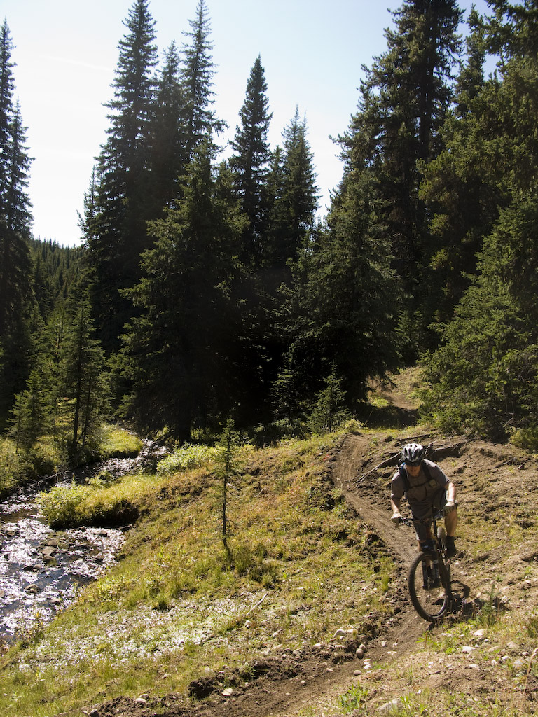
We only got lost a couple of times figuring out the descent. This is a new route for Vance as well.

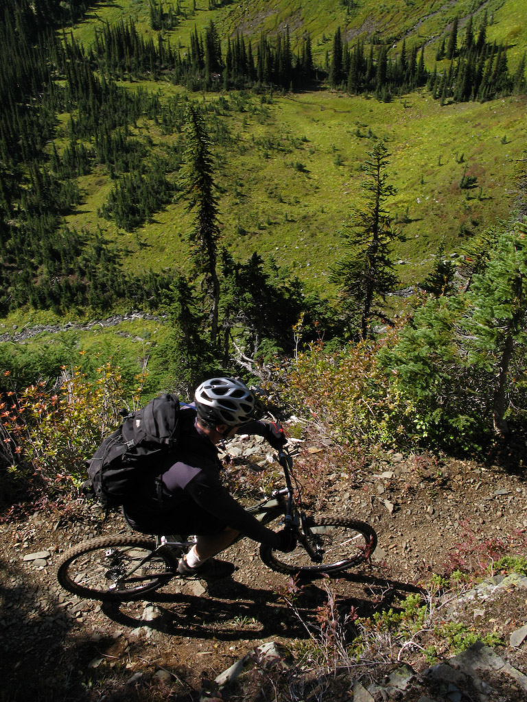
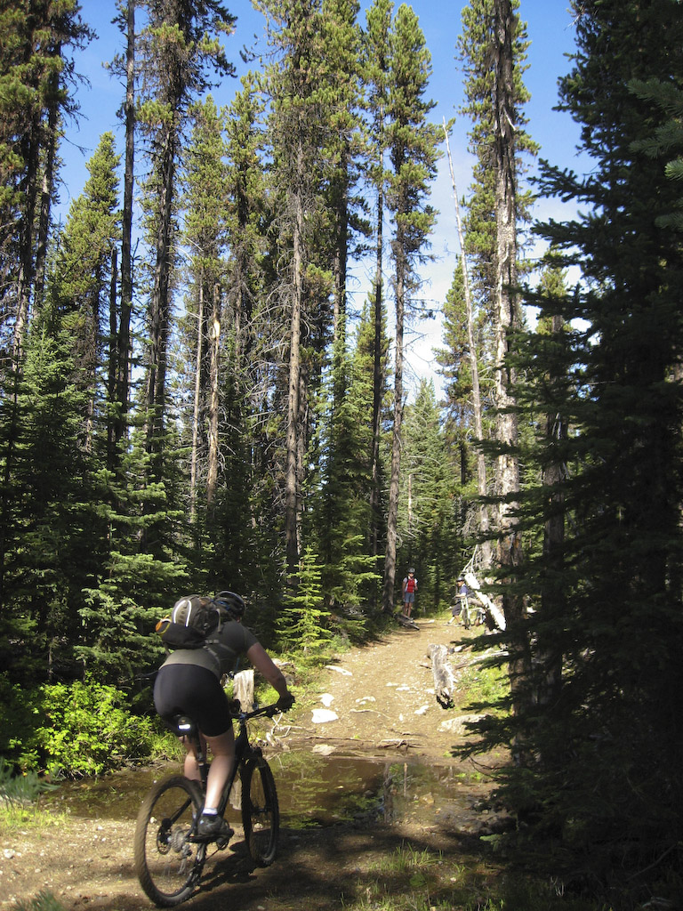
Fairly technical singletrack, but overall pretty rad.

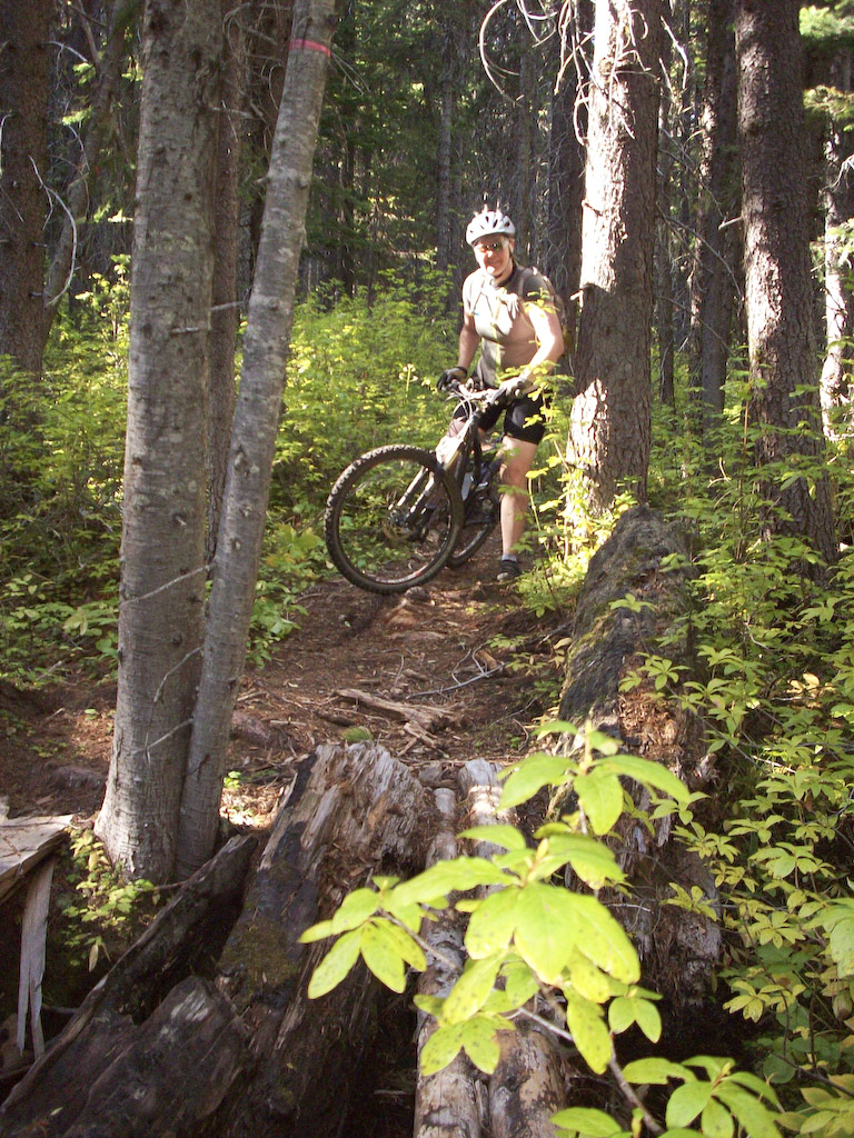
Just a couple of gnarly sections like this, otherwise it was smooth.

Like this…

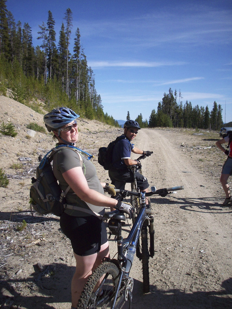
We finally popped out on a logging road.

Yeah, piece of cake, right Mandy?

Hmmmm, I wonder of Andre thinks so too.

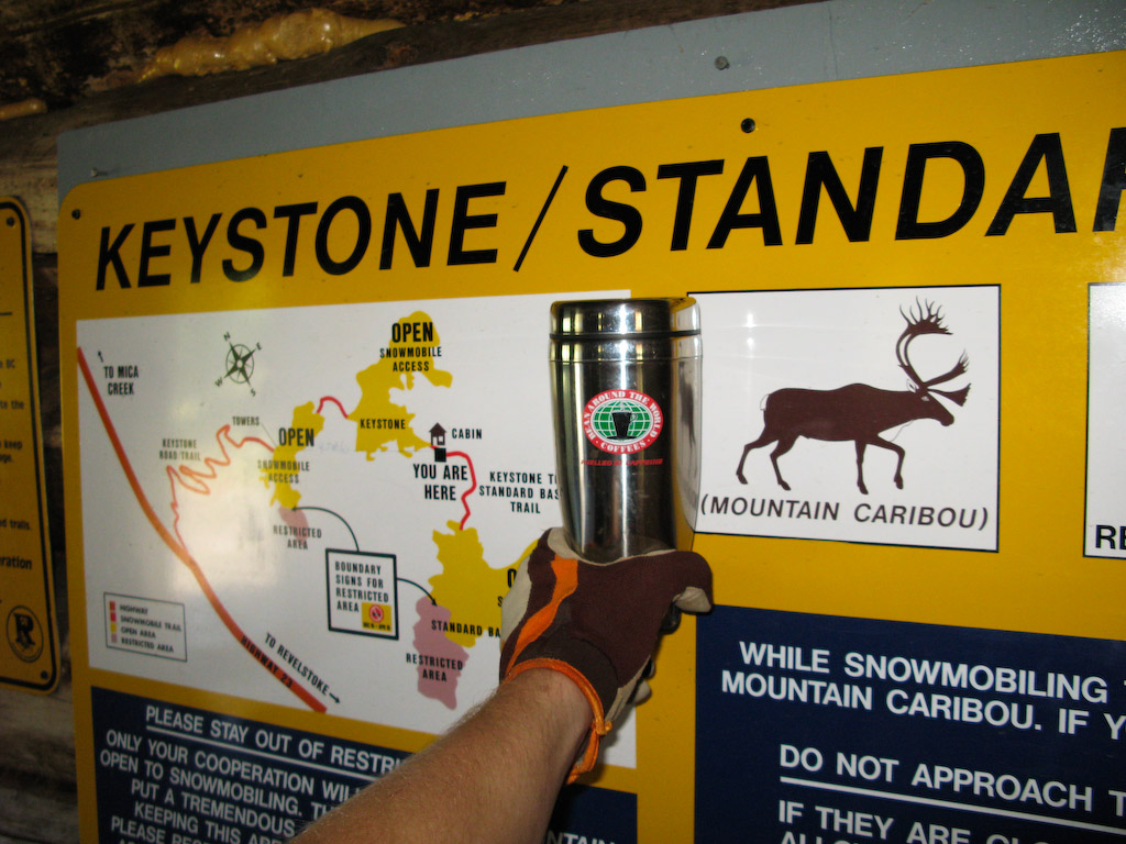
Another map for ya…..


View Larger Map

Keystone Standard Basin

And now..the continuing story of a boy and his mug…and his pink hoodie…..and matching Crocs…..and bike with steering wheel and knuckle duster….

Make up your own caption if you think you can do better. Anyway, Derek and I went out to Revelstoke to check out another BC epic, the Keystone Standard Basin. As an added bonus, we’ve managed to abscond with the now famous Mug, whose adventures are being chronicled HERE.

The Keystone is an out and back ride in the alpine near Revy. As you can see, the scenery is pure rubbish and the Mug is a better climber than Derek.

Note also the first snowfall of the season out there. Could this be a sign of things to come this winter (as of today, Oct. 4th, it sure seems to be. freshies galore all over BC)?

Overall, probably the best XC singletrack since the Chilcotin stuff I did last year.

You gotta look close in these next two to see Derek in there, struggling through the scree piles.

Unfortunately, the skies clouded over for the morning, but we still had great visibility in the epic landscape up here.

Looking back, we could see another crew of riders out for a lap today.

Once we got out to the cabin that was our destination, the skies cleared and we got some bonus blue skies at lunch.

A random local meets Mug.

Can’t leave the cabin without a couple of staged shots of Derek riding by the lake.

“This sucks…”

“Totally…”

About halfway back, we ran across a whole stack of locals taking in the views.

Which makes for a good spot for a panorama. Click it to blow ‘er up.

Even more locs showed up as we enjoyed the views.

Mug, Karen…..Karen, Mug. Karen is in charge of season pass sales at the new Revelstoke Mtn Resort. Good person to know.

Look a little closer at this next one. Care to guess how far the drop is off the edge of the trail there? I’d say at least 500′, maybe more.

Looking back towards the end of the ride. Still a goodly distance to go…

“No Snowmobiling” Get the impression that there’s a bit of snow up here in the winter?

Derek enjoys a refreshing dip. Mug says, “Screw that.”

Instead, Mug relaxes by menacing this paraglider.

For you geography geeks out there, I’ve been playing around with Google Maps and have this adventure plotted out :


View Larger Map